Area Overview for OL6 7BA
Photos of OL6 7BA
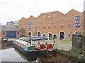
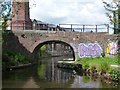
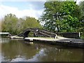
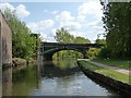

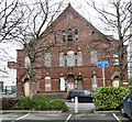
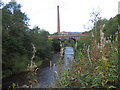
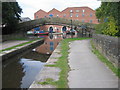
100 photos from this area
Area Information
Key information about the OL6 7BA including its size, population, and administrative classification.
- Area Type
- Postcode
- Area Size
- 7466 m²
- Population
- 1190
- Population Density
- 8605 people/km²
House Prices in OL6 7BA
16
Properties
£48,500
Average Sold Price
£30,000
Lowest Price
£106,000
Highest Price
Showing 16 properties
| Address | Type | Beds | Baths | Last Sale Price | Last Sale Date | |
|---|---|---|---|---|---|---|
| 209 Katherine Street, Ashton Under Lyne, OL6 7BA | Terraced | - | - | £106,000 | Feb 2013 | |
| 280 Katherine Street, Ashton Under Lyne, OL6 7BA | Terraced | - | - | £30,000 | Aug 2000 | |
| 272 Katherine Street, Ashton Under Lyne, OL6 7BA | house | - | - | £38,000 | Aug 2000 | |
| 274 Katherine Street, Ashton Under Lyne, OL6 7BA | Terraced | - | - | £36,000 | Aug 2000 | |
| 264 Katherine Street, Ashton Under Lyne, OL6 7BA | house | - | - | £46,000 | Aug 2000 | |
| 278 Katherine Street, Ashton Under Lyne, OL6 7BA | house | - | - | £35,000 | Mar 2000 | |
| 270 Katherine Street, Ashton Under Lyne, OL6 7BA | house | - | - | - | - | |
| Tameside Enterprises Ltd, 262 Katherine Street, Ashton Under Lyne, OL6 7BA | Office | - | - | - | - | |
| 276 Katherine Street, Ashton Under Lyne, OL6 7BA | Terraced | - | - | - | - | |
| 266 Katherine Street, Ashton Under Lyne, OL6 7BA | Terraced | - | - | - | - |
Page 1 of 2
Energy Efficiency in OL6 7BA
Amenities
Schools
| Rank | School | Type | Entry gender | Ages |
|---|
Explore more schools in this area
Go to Schools tabDemographics
Household Size
One person
most common
Accommodation Type
Flats
most common
Tenure
6
majority
Ethnic Group
White
most common
Religion
N/A
most common
Household Composition
N/A
most common
Age
47
median
Adults (30-64 years)
most common
Household Deprivation
N/A
with no deprivation
NS-SEC
12
in Lower managerial occupations
Explore more demographic insights in this area
Go to Demographics tabPlanning
Planning Constraints
- Flood RiskPremium
- Ramsar Wetland SitesPremium
- Area of Outstanding Natural BeautyPremium
- Protected Nature ReservePremium
- Protected WoodlandPremium