Area Overview for OL6 6RG
Photos of OL6 6RG
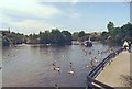
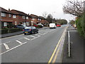

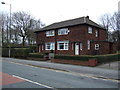
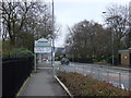
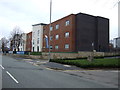

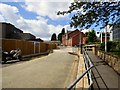
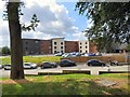
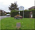
90 photos from this area
Area Information
Key information about the OL6 6RG including its size, population, and administrative classification.
- Area Type
- Postcode
- Area Size
- 1.3 hectares
- Population
- 1661
- Population Density
- 5475 people/km²
House Prices in OL6 6RG
49
Properties
£124,145
Average Sold Price
£21,000
Lowest Price
£285,000
Highest Price
Showing 49 properties
| Address | Type | Beds | Baths | Last Sale Price | Last Sale Date | |
|---|---|---|---|---|---|---|
| 41 Arundel Street, Ashton Under Lyne, OL6 6RG | Terraced | 2 | 1 | £146,000 | Apr 2025 | |
| 55 Arundel Street, Ashton Under Lyne, OL6 6RG | Terraced | 2 | 1 | £167,500 | Apr 2025 | |
| 42 Arundel Street, Ashton Under Lyne, OL6 6RG | Terraced | 2 | 1 | £130,000 | Dec 2024 | |
| 44 Arundel Street, Ashton Under Lyne, OL6 6RG | Terraced | 2 | 1 | £140,500 | Oct 2024 | |
| 40 Arundel Street, Ashton Under Lyne, OL6 6RG | Terraced | 2 | 1 | £145,000 | Aug 2024 | |
| 51 Arundel Street, Ashton Under Lyne, OL6 6RG | Terraced | 2 | 1 | £175,000 | May 2023 | |
| 57 Arundel Street, Ashton Under Lyne, OL6 6RG | Terraced | 2 | 1 | £228,537 | Nov 2022 | |
| 38 Arundel Street, Ashton Under Lyne, OL6 6RG | Terraced | 2 | 1 | £109,000 | Mar 2021 | |
| 70 Arundel Street, Ashton Under Lyne, OL6 6RG | house | - | - | £285,000 | Feb 2021 | |
| 52 Arundel Street, Ashton Under Lyne, OL6 6RG | Terraced | 2 | 1 | £113,000 | Sep 2018 |
Page 1 of 5
Energy Efficiency in OL6 6RG
Amenities
Schools
| Rank | School | Type | Entry gender | Ages |
|---|
Explore more schools in this area
Go to Schools tabDemographics
Household Size
Two person
most common
Accommodation Type
Houses
most common
Tenure
77
majority
Ethnic Group
White
most common
Religion
N/A
most common
Household Composition
N/A
most common
Age
47
median
Adults (30-64 years)
most common
Household Deprivation
N/A
with no deprivation
NS-SEC
31
in Lower managerial occupations
Explore more demographic insights in this area
Go to Demographics tabPlanning
Planning Constraints
- Flood RiskPremium
- Ramsar Wetland SitesPremium
- Area of Outstanding Natural BeautyPremium
- Protected Nature ReservePremium
- Protected WoodlandPremium