Area Overview for OL5 9GF
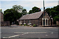
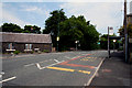
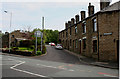
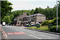
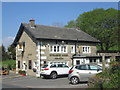
Photos of OL5 9GF
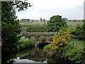
![Mossley Footbridge [No. 86] in OL5 9GF](https://images.propbar.co.uk/images/geograph/18/80/1880436_120.jpg)
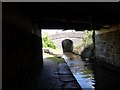
![The River Tame [downstream] in OL5 9GF](https://images.propbar.co.uk/images/geograph/18/80/1880444_120.jpg)
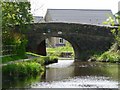
![The River Tame [upstream] in OL5 9GF](https://images.propbar.co.uk/images/geograph/18/80/1880451_120.jpg)
81 photos from this area
Area Information
Key information about the OL5 9GF including its size, population, and administrative classification.
- Area Type
- Postcode
- Area Size
- 1.2 hectares
- Population
- 1947
- Population Density
- 1324 people/km²
House Prices in OL5 9GF
40
Properties
£209,385
Average Sold Price
£95,000
Lowest Price
£420,000
Highest Price
Showing 40 properties
| Address | Type | Beds | Baths | Last Sale Price | Last Sale Date | |
|---|---|---|---|---|---|---|
| 50 Vale View, Mossley, OL5 9GF | Semi-detached | 4 | 2 | £420,000 | May 2025 | |
| 22 Vale View, Mossley, OL5 9GF | Flat | 2 | 1 | £135,000 | May 2025 | |
| 20 Vale View, Mossley, OL5 9GF | Flat | - | - | £130,000 | Jun 2024 | |
| 56 Vale View, Mossley, OL5 9GF | Semi-detached | 4 | - | £339,000 | Nov 2023 | |
| 12 Vale View, Mossley, OL5 9GF | Flat | - | - | £135,000 | Sep 2023 | |
| 18 Vale View, Mossley, OL5 9GF | Flat | - | - | £135,000 | Feb 2023 | |
| 11 Vale View, Mossley, OL5 9GF | Flat | - | - | £135,000 | Aug 2022 | |
| 6 Vale View, Mossley, OL5 9GF | Flat | - | - | £115,000 | Jul 2021 | |
| 5 Vale View, Mossley, OL5 9GF | Flat | - | - | £137,000 | Apr 2021 | |
| 4 Vale View, Mossley, OL5 9GF | Flat | - | - | £125,000 | Feb 2021 |
Page 1 of 4
Energy Efficiency in OL5 9GF
Amenities
Schools
| Rank | School | Type | Entry gender | Ages |
|---|
Explore more schools in this area
Go to Schools tabDemographics
Household Size
Two person
most common
Accommodation Type
Houses
most common
Tenure
81
majority
Ethnic Group
White
most common
Religion
N/A
most common
Household Composition
N/A
most common
Age
47
median
Adults (30-64 years)
most common
Household Deprivation
N/A
with no deprivation
NS-SEC
43
in Lower managerial occupations
Explore more demographic insights in this area
Go to Demographics tabPlanning
Planning Constraints
- Flood RiskPremium
- Ramsar Wetland SitesPremium
- Area of Outstanding Natural BeautyPremium
- Protected Nature ReservePremium
- Protected WoodlandPremium