Area Overview for OL5 0SE
Photos of OL5 0SE
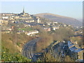
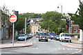
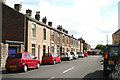
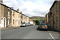
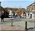
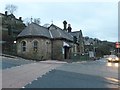
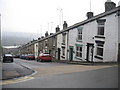
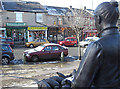
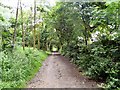
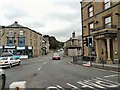
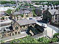
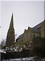
100 photos from this area
Area Information
Key information about the OL5 0SE including its size, population, and administrative classification.
- Area Type
- Postcode
- Area Size
- 1.2 hectares
- Population
- 1505
- Population Density
- 2859 people/km²
House Prices in OL5 0SE
56
Properties
£129,438
Average Sold Price
£19,000
Lowest Price
£280,000
Highest Price
Showing 56 properties
| Address | Type | Beds | Baths | Last Sale Price | Last Sale Date | |
|---|---|---|---|---|---|---|
| 35 Carrhill Road, Mossley, OL5 0SE | Terraced | 3 | 1 | £214,000 | May 2025 | |
| 32 Carrhill Road, Mossley, OL5 0SE | Terraced | 2 | 1 | £142,500 | Feb 2025 | |
| 42 Carrhill Road, Mossley, OL5 0SE | house | - | - | £150,000 | Jan 2025 | |
| 50 Carrhill Road, Mossley, OL5 0SE | Terraced | 2 | 1 | £163,000 | May 2024 | |
| 37 Carrhill Road, Mossley, OL5 0SE | Terraced | 2 | 2 | £195,000 | Feb 2024 | |
| 80 Carrhill Road, Mossley, OL5 0SE | house | 3 | 1 | £250,000 | Dec 2022 | |
| 76 Carrhill Road, Mossley, OL5 0SE | house | - | - | £144,000 | Apr 2021 | |
| 31 Carrhill Road, Mossley, OL5 0SE | Terraced | 3 | 1 | £197,250 | Jul 2020 | |
| 68 Carrhill Road, Mossley, OL5 0SE | Terraced | 2 | - | £124,500 | May 2019 | |
| 30 Carrhill Road, Mossley, OL5 0SE | Terraced | 1 | - | £82,000 | Dec 2018 |
Page 1 of 6
Energy Efficiency in OL5 0SE
Amenities
Schools
| Rank | School | Type | Entry gender | Ages |
|---|
Explore more schools in this area
Go to Schools tabDemographics
Household Size
Two person
most common
Accommodation Type
Houses
most common
Tenure
74
majority
Ethnic Group
White
most common
Religion
N/A
most common
Household Composition
N/A
most common
Age
47
median
Adults (30-64 years)
most common
Household Deprivation
N/A
with no deprivation
NS-SEC
42
in Lower managerial occupations
Explore more demographic insights in this area
Go to Demographics tabPlanning
Planning Constraints
- Flood RiskPremium
- Ramsar Wetland SitesPremium
- Area of Outstanding Natural BeautyPremium
- Protected Nature ReservePremium
- Protected WoodlandPremium