Area Overview for OL5 0HU
Photos of OL5 0HU
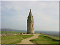
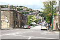
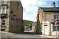
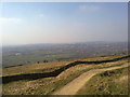
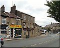
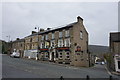
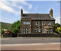

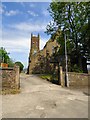
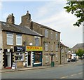

74 photos from this area
Area Information
Key information about the OL5 0HU including its size, population, and administrative classification.
- Area Type
- Postcode
- Area Size
- 2943 m²
- Population
- 1807
- Population Density
- 1344 people/km²
House Prices in OL5 0HU
9
Properties
£158,857
Average Sold Price
£78,000
Lowest Price
£200,000
Highest Price
Showing 9 properties
| Address | Type | Beds | Baths | Last Sale Price | Last Sale Date | |
|---|---|---|---|---|---|---|
| 9 Anthony Street, Mossley, OL5 0HU | Terraced | 2 | 1 | £185,000 | Apr 2024 | |
| 11 Anthony Street, Mossley, OL5 0HU | Cottage | 3 | 1 | £200,000 | Feb 2022 | |
| 17 Anthony Street, Mossley, OL5 0HU | Terraced | 3 | 1 | £200,000 | Jun 2017 | |
| 3 Anthony Street, Mossley, OL5 0HU | Terraced | 2 | - | £105,000 | Mar 2016 | |
| 7 Anthony Street, Mossley, OL5 0HU | Terraced | - | - | £154,000 | Feb 2007 | |
| 13 Anthony Street, Mossley, OL5 0HU | Terraced | 3 | 1 | £190,000 | Dec 2004 | |
| 5 Anthony Street, Mossley, OL5 0HU | Terraced | 2 | 1 | £78,000 | Jun 2003 | |
| 19-21 Anthony Street, Mossley, OL5 0HU | Terraced | 6 | 2 | - | - | |
| 21 Anthony Street, Mossley, OL5 0HU | Terraced | - | - | - | - |
Energy Efficiency in OL5 0HU
Amenities
Schools
| Rank | School | Type | Entry gender | Ages |
|---|
Explore more schools in this area
Go to Schools tabDemographics
Household Size
One person
most common
Accommodation Type
Houses
most common
Tenure
58
majority
Ethnic Group
White
most common
Religion
N/A
most common
Household Composition
N/A
most common
Age
47
median
Adults (30-64 years)
most common
Household Deprivation
N/A
with no deprivation
NS-SEC
28
in Lower managerial occupations
Explore more demographic insights in this area
Go to Demographics tabPlanning
Planning Constraints
- Flood RiskPremium
- Ramsar Wetland SitesPremium
- Area of Outstanding Natural BeautyPremium
- Protected Nature ReservePremium
- Protected WoodlandPremium