Area Overview for OL5 0HJ
Photos of OL5 0HJ
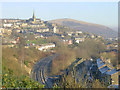
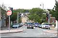
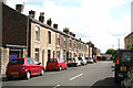
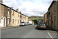
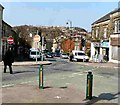
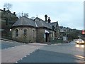
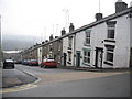
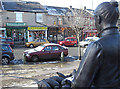
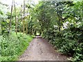
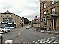
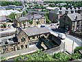
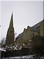
100 photos from this area
Area Information
Key information about the OL5 0HJ including its size, population, and administrative classification.
- Area Type
- Postcode
- Area Size
- 5452 m²
- Population
- 2078
- Population Density
- 3957 people/km²
House Prices in OL5 0HJ
31
Properties
£107,636
Average Sold Price
£38,950
Lowest Price
£195,000
Highest Price
Showing 31 properties
| Address | Type | Beds | Baths | Last Sale Price | Last Sale Date | |
|---|---|---|---|---|---|---|
| 32 Hanover Street, Mossley, OL5 0HJ | Terraced | 2 | 1 | £195,000 | Jun 2025 | |
| 4 Hanover Street, Mossley, OL5 0HJ | Terraced | 2 | 1 | £157,000 | May 2025 | |
| 42 Hanover Street, Mossley, OL5 0HJ | Terraced | 2 | 1 | £180,000 | Dec 2024 | |
| 50 Hanover Street, Mossley, OL5 0HJ | Terraced | 3 | 1 | £157,500 | Mar 2020 | |
| 38 Hanover Street, Mossley, OL5 0HJ | house | - | - | £135,000 | Jan 2020 | |
| 20 Hanover Street, Mossley, OL5 0HJ | Terraced | 2 | 1 | £115,000 | Mar 2017 | |
| 34 Hanover Street, Mossley, OL5 0HJ | Terraced | 2 | 1 | £98,000 | Aug 2015 | |
| 30 Hanover Street, Mossley, OL5 0HJ | Terraced | 2 | 1 | £114,000 | Jun 2015 | |
| 50A Hanover Street, Mossley, OL5 0HJ | house | - | - | £145,000 | May 2013 | |
| 18 Hanover Street, Mossley, OL5 0HJ | house | - | - | £90,000 | Mar 2012 |
Page 1 of 4
Energy Efficiency in OL5 0HJ
Amenities
Schools
| Rank | School | Type | Entry gender | Ages |
|---|
Explore more schools in this area
Go to Schools tabDemographics
Household Size
One person
most common
Accommodation Type
Houses
most common
Tenure
56
majority
Ethnic Group
White
most common
Religion
N/A
most common
Household Composition
N/A
most common
Age
47
median
Adults (30-64 years)
most common
Household Deprivation
N/A
with no deprivation
NS-SEC
35
in Lower managerial occupations
Explore more demographic insights in this area
Go to Demographics tabPlanning
Planning Constraints
- Flood RiskPremium
- Ramsar Wetland SitesPremium
- Area of Outstanding Natural BeautyPremium
- Protected Nature ReservePremium
- Protected WoodlandPremium