Area Overview for OL4 1NB
Photos of OL4 1NB


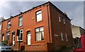

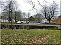

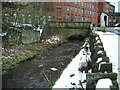
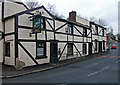
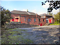
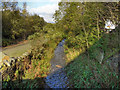
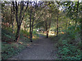
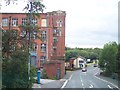
41 photos from this area
Area Information
Key information about the OL4 1NB including its size, population, and administrative classification.
- Area Type
- Postcode
- Area Size
- 5854 m²
- Population
- 2365
- Population Density
- 8510 people/km²
House Prices in OL4 1NB
39
Properties
£66,292
Average Sold Price
£19,000
Lowest Price
£135,000
Highest Price
Showing 39 properties
| Address | Type | Beds | Baths | Last Sale Price | Last Sale Date | |
|---|---|---|---|---|---|---|
| 128 Eric Street, Oldham, OL4 1NB | house | - | - | £135,000 | Sep 2025 | |
| 124 Eric Street, Oldham, OL4 1NB | house | 3 | - | £120,000 | Oct 2022 | |
| 89 Eric Street, Oldham, OL4 1NB | house | - | - | £120,000 | Mar 2022 | |
| 111 Eric Street, Oldham, OL4 1NB | house | - | - | £55,000 | May 2020 | |
| 95 Eric Street, Oldham, OL4 1NB | Terraced | - | - | £64,050 | Sep 2019 | |
| 99 Eric Street, Oldham, OL4 1NB | house | - | - | £73,000 | Jun 2018 | |
| 96 Eric Street, Oldham, OL4 1NB | house | - | - | £65,000 | Oct 2017 | |
| 120 Eric Street, Oldham, OL4 1NB | house | - | - | £30,000 | Oct 2017 | |
| 112 Eric Street, Oldham, OL4 1NB | house | - | - | £90,000 | Oct 2017 | |
| 126 Eric Street, Oldham, OL4 1NB | house | - | - | £42,758 | Sep 2017 |
Page 1 of 4
Energy Efficiency in OL4 1NB
Amenities
Schools
| Rank | School | Type | Entry gender | Ages |
|---|
Explore more schools in this area
Go to Schools tabDemographics
Household Size
Family (3-5 people)
most common
Accommodation Type
Houses
most common
Tenure
50
majority
Ethnic Group
asian_total
most common
Religion
N/A
most common
Household Composition
N/A
most common
Age
22
median
Adults (30-64 years)
most common
Household Deprivation
N/A
with no deprivation
NS-SEC
9
in Lower managerial occupations
Explore more demographic insights in this area
Go to Demographics tabPlanning
Planning Constraints
- Flood RiskPremium
- Ramsar Wetland SitesPremium
- Area of Outstanding Natural BeautyPremium
- Protected Nature ReservePremium
- Protected WoodlandPremium