Area Overview for OL3 7ED
Photos of OL3 7ED
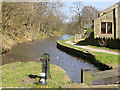
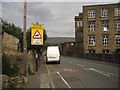
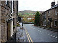
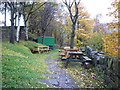

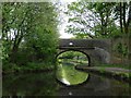
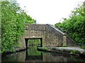
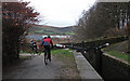
100 photos from this area
Area Information
Key information about the OL3 7ED including its size, population, and administrative classification.
- Area Type
- Postcode
- Area Size
- 1.4 hectares
- Population
- 1568
- Population Density
- 61 people/km²
House Prices in OL3 7ED
23
Properties
£299,450
Average Sold Price
£113,000
Lowest Price
£550,000
Highest Price
Showing 23 properties
| Address | Type | Beds | Baths | Last Sale Price | Last Sale Date | |
|---|---|---|---|---|---|---|
| 2 North Rise, Greenfield, OL3 7ED | Detached | 4 | 3 | £455,000 | Jan 2025 | |
| 11 North Rise, Greenfield, OL3 7ED | house | - | - | £550,000 | Jan 2023 | |
| Highfield, North Rise, Greenfield, OL3 7ED | Bungalow | - | - | £490,000 | Feb 2021 | |
| 13 North Rise, Greenfield, OL3 7ED | Detached | 4 | - | £302,000 | Nov 2014 | |
| 14 North Rise, Greenfield, OL3 7ED | Bungalow | - | - | £305,000 | Aug 2014 | |
| 8 North Rise, Greenfield, OL3 7ED | Detached | - | - | £245,000 | Nov 2005 | |
| 1 North Rise, Greenfield, OL3 7ED | house | - | - | £255,000 | Jun 2004 | |
| 10 North Rise, Greenfield, OL3 7ED | Detached | - | - | £113,000 | May 2000 | |
| 6 North Rise, Greenfield, OL3 7ED | Detached | 4 | 1 | £116,000 | Aug 1999 | |
| Tree Tops, North Rise, Greenfield, OL3 7ED | Detached | - | - | £163,500 | Apr 1998 |
Page 1 of 3
Energy Efficiency in OL3 7ED
Amenities
Schools
| Rank | School | Type | Entry gender | Ages |
|---|
Explore more schools in this area
Go to Schools tabDemographics
Household Size
Two person
most common
Accommodation Type
Houses
most common
Tenure
83
majority
Ethnic Group
White
most common
Religion
N/A
most common
Household Composition
N/A
most common
Age
47
median
Adults (30-64 years)
most common
Household Deprivation
N/A
with no deprivation
NS-SEC
47
in Lower managerial occupations
Explore more demographic insights in this area
Go to Demographics tabPlanning
Planning Constraints
- Flood RiskPremium
- Ramsar Wetland SitesPremium
- Area of Outstanding Natural BeautyPremium
- Protected Nature ReservePremium
- Protected WoodlandPremium