Area Overview for OL3 6HY
Photos of OL3 6HY
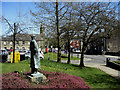
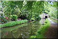
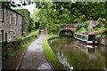
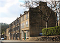
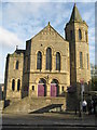
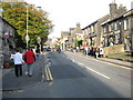
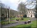
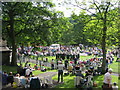
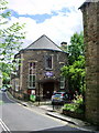
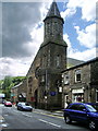
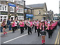
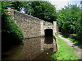
100 photos from this area
Area Information
Key information about the OL3 6HY including its size, population, and administrative classification.
- Area Type
- Postcode
- Area Size
- 5.6 hectares
- Population
- 1719
- Population Density
- 530 people/km²
House Prices in OL3 6HY
28
Properties
£231,629
Average Sold Price
£85,000
Lowest Price
£370,000
Highest Price
Showing 28 properties
| Address | Type | Beds | Baths | Last Sale Price | Last Sale Date | |
|---|---|---|---|---|---|---|
| 3 Oldham Road, Uppermill, OL3 6HY | house | - | - | £205,000 | Aug 2025 | |
| 22 Oldham Road, Uppermill, OL3 6HY | house | - | - | £290,000 | Aug 2024 | |
| 24 Oldham Road, Uppermill, OL3 6HY | house | 3 | 2 | £295,000 | Oct 2023 | |
| 20 Oldham Road, Uppermill, OL3 6HY | house | - | - | £210,500 | Jun 2022 | |
| 7 Oldham Road, Uppermill, OL3 6HY | house | - | - | £257,000 | May 2022 | |
| 4 Oldham Road, Uppermill, OL3 6HY | house | - | - | £252,000 | Jan 2022 | |
| 38 Oldham Road, Uppermill, OL3 6HY | house | - | - | £255,000 | Aug 2021 | |
| 34 Oldham Road, Uppermill, OL3 6HY | house | - | - | £350,000 | Jun 2021 | |
| 42 Oldham Road, Uppermill, OL3 6HY | Terraced | 3 | 1 | £238,500 | Apr 2020 | |
| 40 Oldham Road, Uppermill, OL3 6HY | Terraced | 2 | 1 | £140,000 | Feb 2019 |
Page 1 of 3
Energy Efficiency in OL3 6HY
Amenities
Schools
| Rank | School | Type | Entry gender | Ages |
|---|
Explore more schools in this area
Go to Schools tabDemographics
Household Size
Two person
most common
Accommodation Type
Houses
most common
Tenure
86
majority
Ethnic Group
White
most common
Religion
N/A
most common
Household Composition
N/A
most common
Age
47
median
Adults (30-64 years)
most common
Household Deprivation
N/A
with no deprivation
NS-SEC
52
in Lower managerial occupations
Explore more demographic insights in this area
Go to Demographics tabPlanning
Planning Constraints
- Flood RiskPremium
- Ramsar Wetland SitesPremium
- Area of Outstanding Natural BeautyPremium
- Protected Nature ReservePremium
- Protected WoodlandPremium