Area Overview for OL3 6EH
Photos of OL3 6EH
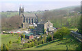
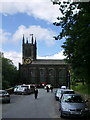

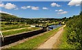
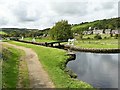
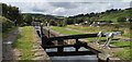
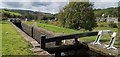

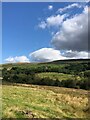
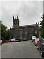
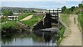
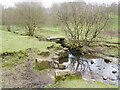
62 photos from this area
Area Information
Key information about the OL3 6EH including its size, population, and administrative classification.
- Area Type
- Postcode
- Area Size
- 8.3 hectares
- Population
- 2414
- Population Density
- 2834 people/km²
House Prices in OL3 6EH
9
Properties
£370,167
Average Sold Price
£235,000
Lowest Price
£690,000
Highest Price
Showing 9 properties
| Address | Type | Beds | Baths | Last Sale Price | Last Sale Date | |
|---|---|---|---|---|---|---|
| 72 Church Road, Uppermill, OL3 6EH | Detached | 4 | 2 | £690,000 | Feb 2025 | |
| 62 Church Road, Uppermill, OL3 6EH | Semi-detached | 3 | 2 | £400,000 | Nov 2022 | |
| Hey Lane Cottage, Church Road, Uppermill, OL3 6EH | house | - | - | £307,000 | Aug 2019 | |
| 60 Church Road, Uppermill, OL3 6EH | house | - | - | £235,000 | Jul 2014 | |
| 70 Church Road, Uppermill, OL3 6EH | Semi-detached | - | - | £340,000 | Mar 2008 | |
| 68 Church Road, Uppermill, OL3 6EH | Detached | 4 | 1 | £249,000 | Mar 2003 | |
| 64 Church Road, Uppermill, OL3 6EH | Semi-detached | 3 | 1 | - | - | |
| Priest Clough House, Church Road, Uppermill, OL3 6EH | Detached | - | - | - | - | |
| 66 Church Road, Uppermill, OL3 6EH | Semi-detached | - | - | - | - |
Energy Efficiency in OL3 6EH
Amenities
Schools
| Rank | School | Type | Entry gender | Ages |
|---|
Explore more schools in this area
Go to Schools tabDemographics
Household Size
Two person
most common
Accommodation Type
Houses
most common
Tenure
77
majority
Ethnic Group
White
most common
Religion
N/A
most common
Household Composition
N/A
most common
Age
47
median
Adults (30-64 years)
most common
Household Deprivation
N/A
with no deprivation
NS-SEC
43
in Lower managerial occupations
Explore more demographic insights in this area
Go to Demographics tabPlanning
Planning Constraints
- Flood RiskPremium
- Ramsar Wetland SitesPremium
- Area of Outstanding Natural BeautyPremium
- Protected Nature ReservePremium
- Protected WoodlandPremium