Area Overview for OL3 6AP
Photos of OL3 6AP
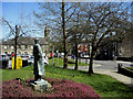
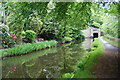
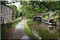
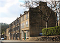
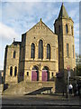
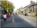
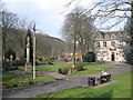
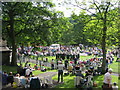
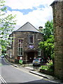
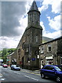
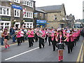
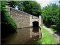
100 photos from this area
Area Information
Key information about the OL3 6AP including its size, population, and administrative classification.
- Area Type
- Postcode
- Area Size
- 3068 m²
- Population
- 1684
- Population Density
- 1080 people/km²
House Prices in OL3 6AP
15
Properties
£450,000
Average Sold Price
£450,000
Lowest Price
£450,000
Highest Price
Showing 15 properties
| Address | Type | Beds | Baths | Last Sale Price | Last Sale Date | |
|---|---|---|---|---|---|---|
| 59C High Street, Uppermill, OL3 6AP | Flat | - | - | £450,000 | Sep 2021 | |
| The Nail Lounge, 65 High Street, Uppermill, OL3 6AP | retail_financial | - | - | - | - | |
| Hebe Ltd, 63A High Street, Uppermill, OL3 6AP | retail_financial | - | - | - | - | |
| Saint Chads Offices, High Street, Uppermill, OL3 6AP | Office | - | - | - | - | |
| Flat Above, 67 High Street, Uppermill, OL3 6AP | Retail | - | - | - | - | |
| Abaco, 73A High Street, Uppermill, OL3 6AP | restaurant_cafe | - | - | - | - | |
| Uppermill Conservative Club, High Street, Uppermill, OL3 6AP | pub | - | - | - | - | |
| Over, 85 High Street, Uppermill, OL3 6AP | Terraced | - | - | - | - | |
| Over, 87 High Street, Uppermill, OL3 6AP | Terraced | - | - | - | - | |
| Over, 81 High Street, Uppermill, OL3 6AP | retail_financial | - | - | - | - |
Page 1 of 2
Energy Efficiency in OL3 6AP
Amenities
Schools
| Rank | School | Type | Entry gender | Ages |
|---|
Explore more schools in this area
Go to Schools tabDemographics
Household Size
Two person
most common
Accommodation Type
Houses
most common
Tenure
80
majority
Ethnic Group
White
most common
Religion
N/A
most common
Household Composition
N/A
most common
Age
47
median
Adults (30-64 years)
most common
Household Deprivation
N/A
with no deprivation
NS-SEC
50
in Lower managerial occupations
Explore more demographic insights in this area
Go to Demographics tabPlanning
Planning Constraints
- Flood RiskPremium
- Ramsar Wetland SitesPremium
- Area of Outstanding Natural BeautyPremium
- Protected Nature ReservePremium
- Protected WoodlandPremium