Area Overview for OL3 5JX
Photos of OL3 5JX
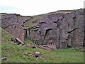
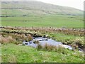
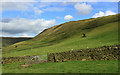
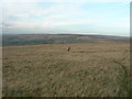
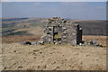
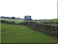
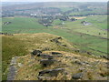
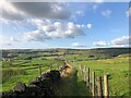
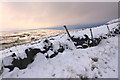
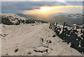
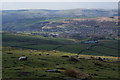
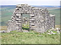
17 photos from this area
Area Information
Key information about the OL3 5JX including its size, population, and administrative classification.
- Area Type
- Postcode
- Area Size
- 47.2 hectares
- Population
- 1495
- Population Density
- 115 people/km²
House Prices in OL3 5JX
19
Properties
£240,167
Average Sold Price
£143,000
Lowest Price
£415,000
Highest Price
Showing 19 properties
| Address | Type | Beds | Baths | Last Sale Price | Last Sale Date | |
|---|---|---|---|---|---|---|
| 1 Lee Side, Diggle, OL3 5JX | Terraced | 1 | 1 | £188,000 | Jun 2024 | |
| Back O Th Lee Cottage, Ward Lane, Diggle, OL3 5JX | Cottage | 2 | 1 | £350,000 | Dec 2016 | |
| 2, Fairbank Farm Cottages, Lee Side, Diggle, OL3 5JX | house | - | - | £150,000 | Jul 2010 | |
| 2 Lee Side, Diggle, OL3 5JX | house | - | - | £143,000 | Mar 2007 | |
| Lee Cross Farm, Lee Side, Diggle, OL3 5JX | Semi-detached | - | - | £415,000 | Sep 2003 | |
| Lee Cross Cottage, Lee Side, Diggle, OL3 5JX | Semi-detached | 2 | - | £195,000 | Sep 2002 | |
| Back Oth Lee Farm, Lee Side, Diggle, OL3 5JX | Semi-detached | 5 | 2 | - | - | |
| Intake House, Lee Side, Diggle, OL3 5JX | Detached | 4 | - | - | - | |
| Barn Meadow House, Lee Side, Diggle, OL3 5JX | Detached | 4 | - | - | - | |
| Fairbanks Farmhouse, Lee Side, Diggle, OL3 5JX | Detached | - | - | - | - |
Page 1 of 2
Energy Efficiency in OL3 5JX
Amenities
Schools
| Rank | School | Type | Entry gender | Ages |
|---|
Explore more schools in this area
Go to Schools tabDemographics
Household Size
Two person
most common
Accommodation Type
Houses
most common
Tenure
87
majority
Ethnic Group
White
most common
Religion
N/A
most common
Household Composition
N/A
most common
Age
47
median
Adults (30-64 years)
most common
Household Deprivation
N/A
with no deprivation
NS-SEC
49
in Lower managerial occupations
Explore more demographic insights in this area
Go to Demographics tabPlanning
Planning Constraints
- Flood RiskPremium
- Ramsar Wetland SitesPremium
- Area of Outstanding Natural BeautyPremium
- Protected Nature ReservePremium
- Protected WoodlandPremium