Area Overview for OL2 7XF
Photos of OL2 7XF
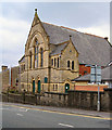
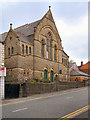
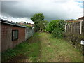
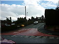
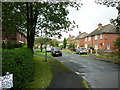
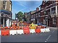
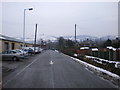
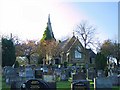
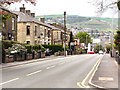
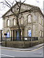
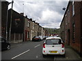
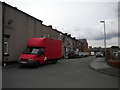
64 photos from this area
Area Information
Key information about the OL2 7XF including its size, population, and administrative classification.
- Area Type
- Postcode
- Area Size
- 8710 m²
- Population
- 1568
- Population Density
- 5982 people/km²
House Prices in OL2 7XF
21
Properties
£110,108
Average Sold Price
£47,500
Lowest Price
£235,000
Highest Price
Showing 21 properties
| Address | Type | Beds | Baths | Last Sale Price | Last Sale Date | |
|---|---|---|---|---|---|---|
| 84 Duchess Street, Shaw, OL2 7XF | Semi-detached | 3 | 1 | £235,000 | Aug 2025 | |
| 70 Duchess Street, Shaw, OL2 7XF | Semi-detached | 3 | 1 | £80,000 | Nov 2021 | |
| 62 Duchess Street, Shaw, OL2 7XF | house | - | - | £114,950 | Oct 2021 | |
| 72 Duchess Street, Shaw, OL2 7XF | Semi-detached | 3 | 1 | £133,500 | Mar 2020 | |
| 86 Duchess Street, Shaw, OL2 7XF | Semi-detached | 3 | 1 | £147,000 | Jun 2018 | |
| 58 Duchess Street, Shaw, OL2 7XF | house | - | - | £142,000 | May 2018 | |
| 96 Duchess Street, Shaw, OL2 7XF | Semi-detached | 3 | 1 | £101,500 | Mar 2018 | |
| 82 Duchess Street, Shaw, OL2 7XF | house | - | - | £128,000 | Jul 2016 | |
| 94 Duchess Street, Shaw, OL2 7XF | Semi-detached | - | - | £90,000 | Dec 2015 | |
| 64 Duchess Street, Shaw, OL2 7XF | house | - | - | £78,000 | May 2008 |
Page 1 of 3
Energy Efficiency in OL2 7XF
Amenities
Schools
| Rank | School | Type | Entry gender | Ages |
|---|
Explore more schools in this area
Go to Schools tabDemographics
Household Size
One person
most common
Accommodation Type
Houses
most common
Tenure
57
majority
Ethnic Group
White
most common
Religion
N/A
most common
Household Composition
N/A
most common
Age
47
median
Adults (30-64 years)
most common
Household Deprivation
N/A
with no deprivation
NS-SEC
21
in Lower managerial occupations
Explore more demographic insights in this area
Go to Demographics tabPlanning
Planning Constraints
- Flood RiskPremium
- Ramsar Wetland SitesPremium
- Area of Outstanding Natural BeautyPremium
- Protected Nature ReservePremium
- Protected WoodlandPremium