Area Overview for OL2 7TF
Photos of OL2 7TF
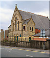
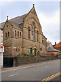
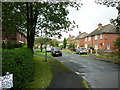
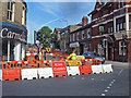
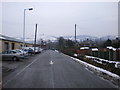
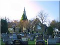
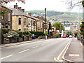
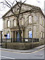
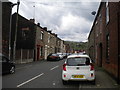
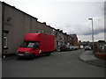
64 photos from this area
Area Information
Key information about the OL2 7TF including its size, population, and administrative classification.
- Area Type
- Postcode
- Area Size
- 1715 m²
- Population
- 1397
- Population Density
- 6821 people/km²
House Prices in OL2 7TF
13
Properties
£99,036
Average Sold Price
£50,000
Lowest Price
£166,000
Highest Price
Showing 13 properties
| Address | Type | Beds | Baths | Last Sale Price | Last Sale Date | |
|---|---|---|---|---|---|---|
| 36 Lees Street, Shaw, OL2 7TF | Terraced | 2 | 1 | £150,000 | Sep 2025 | |
| 34 Lees Street, Shaw, OL2 7TF | Terraced | 2 | 1 | £166,000 | Sep 2025 | |
| 16 Lees Street, Shaw, OL2 7TF | Terraced | 2 | 1 | £90,000 | May 2020 | |
| 28 Lees Street, Shaw, OL2 7TF | house | - | - | £104,950 | Oct 2018 | |
| 38 Lees Street, Shaw, OL2 7TF | house | 2 | 1 | £103,000 | Sep 2018 | |
| 30 Lees Street, Shaw, OL2 7TF | Terraced | 2 | - | £50,000 | Mar 2013 | |
| 18 Lees Street, Shaw, OL2 7TF | house | - | - | £80,000 | May 2012 | |
| 14 Lees Street, Shaw, OL2 7TF | house | 2 | - | £80,000 | Nov 2011 | |
| 24 Lees Street, Shaw, OL2 7TF | house | - | - | £90,950 | Nov 2010 | |
| 26 Lees Street, Shaw, OL2 7TF | house | - | - | £82,500 | Dec 2009 |
Page 1 of 2
Energy Efficiency in OL2 7TF
Amenities
Schools
| Rank | School | Type | Entry gender | Ages |
|---|
Explore more schools in this area
Go to Schools tabDemographics
Household Size
One person
most common
Accommodation Type
Houses
most common
Tenure
65
majority
Ethnic Group
White
most common
Religion
N/A
most common
Household Composition
N/A
most common
Age
47
median
Adults (30-64 years)
most common
Household Deprivation
N/A
with no deprivation
NS-SEC
21
in Lower managerial occupations
Explore more demographic insights in this area
Go to Demographics tabPlanning
Planning Constraints
- Flood RiskPremium
- Ramsar Wetland SitesPremium
- Area of Outstanding Natural BeautyPremium
- Protected Nature ReservePremium
- Protected WoodlandPremium