Area Overview for OL2 7PD
Photos of OL2 7PD
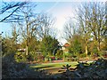
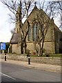
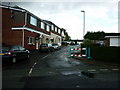
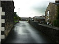
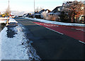
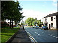
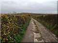
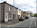
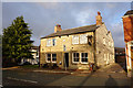
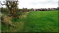
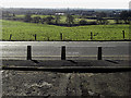
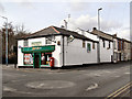
51 photos from this area
Area Information
Key information about the OL2 7PD including its size, population, and administrative classification.
- Area Type
- Postcode
- Area Size
- 2.3 hectares
- Population
- 1564
- Population Density
- 1353 people/km²
House Prices in OL2 7PD
20
Properties
£125,087
Average Sold Price
£49,950
Lowest Price
£250,000
Highest Price
Showing 20 properties
| Address | Type | Beds | Baths | Last Sale Price | Last Sale Date | |
|---|---|---|---|---|---|---|
| 514 Rochdale Road, Shaw, OL2 7PD | Terraced | 2 | 1 | £179,950 | Nov 2023 | |
| 506 Rochdale Road, Shaw, OL2 7PD | house | - | - | £168,000 | Dec 2022 | |
| 526 Rochdale Road, Shaw, OL2 7PD | Terraced | 2 | 1 | £157,000 | Feb 2022 | |
| 522 Rochdale Road, Shaw, OL2 7PD | Terraced | 2 | 1 | £129,000 | Nov 2021 | |
| 520 Rochdale Road, Shaw, OL2 7PD | Terraced | 2 | 1 | £103,000 | Jul 2016 | |
| 502 Rochdale Road, Shaw, OL2 7PD | house | 4 | - | £250,000 | Sep 2011 | |
| 524 Rochdale Road, Shaw, OL2 7PD | Terraced | 2 | 1 | £115,000 | Sep 2006 | |
| 508A Rochdale Road, Shaw, OL2 7PD | Terraced | - | - | £105,000 | Jun 2006 | |
| 456 Rochdale Road, Shaw, OL2 7PD | house | - | - | £88,240 | Dec 2005 | |
| 516 Rochdale Road, Shaw, OL2 7PD | house | - | - | £105,950 | Aug 2004 |
Page 1 of 2
Energy Efficiency in OL2 7PD
Amenities
Schools
| Rank | School | Type | Entry gender | Ages |
|---|
Explore more schools in this area
Go to Schools tabDemographics
Household Size
Two person
most common
Accommodation Type
Houses
most common
Tenure
84
majority
Ethnic Group
White
most common
Religion
N/A
most common
Household Composition
N/A
most common
Age
47
median
Adults (30-64 years)
most common
Household Deprivation
N/A
with no deprivation
NS-SEC
31
in Lower managerial occupations
Explore more demographic insights in this area
Go to Demographics tabPlanning
Planning Constraints
- Flood RiskPremium
- Ramsar Wetland SitesPremium
- Area of Outstanding Natural BeautyPremium
- Protected Nature ReservePremium
- Protected WoodlandPremium