Area Overview for OL2 7DP
Photos of OL2 7DP
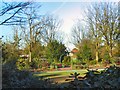
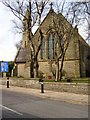
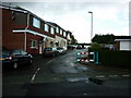
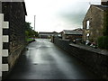
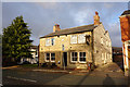
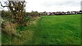
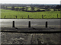
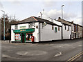
51 photos from this area
Area Information
Key information about the OL2 7DP including its size, population, and administrative classification.
- Area Type
- Postcode
- Area Size
- 1.1 hectares
- Population
- 1671
- Population Density
- 2816 people/km²
House Prices in OL2 7DP
31
Properties
£131,596
Average Sold Price
£53,000
Lowest Price
£295,000
Highest Price
Showing 31 properties
| Address | Type | Beds | Baths | Last Sale Price | Last Sale Date | |
|---|---|---|---|---|---|---|
| 42 Surrey Avenue, Shaw, OL2 7DP | Semi-detached | 2 | 1 | £180,000 | Jan 2024 | |
| 26 Surrey Avenue, Shaw, OL2 7DP | house | - | - | £160,000 | Jan 2022 | |
| 48 Surrey Avenue, Shaw, OL2 7DP | Bungalow | - | - | £285,000 | Sep 2021 | |
| 4 Surrey Avenue, Shaw, OL2 7DP | Bungalow | 3 | 1 | £295,000 | Nov 2017 | |
| 10 Surrey Avenue, Shaw, OL2 7DP | Bungalow | - | - | £147,000 | Jan 2016 | |
| 56 Surrey Avenue, Shaw, OL2 7DP | Semi-detached | 3 | - | £157,000 | Aug 2014 | |
| 12 Surrey Avenue, Shaw, OL2 7DP | Bungalow | - | - | £105,000 | Nov 2012 | |
| 28 Surrey Avenue, Shaw, OL2 7DP | Bungalow | - | - | £115,000 | Jul 2012 | |
| 24 Surrey Avenue, Shaw, OL2 7DP | Bungalow | - | - | £137,000 | Jun 2010 | |
| 58 Surrey Avenue, Shaw, OL2 7DP | Bungalow | - | - | £140,000 | Jan 2010 |
Page 1 of 4
Energy Efficiency in OL2 7DP
Amenities
Schools
| Rank | School | Type | Entry gender | Ages |
|---|
Explore more schools in this area
Go to Schools tabDemographics
Household Size
Two person
most common
Accommodation Type
Houses
most common
Tenure
88
majority
Ethnic Group
White
most common
Religion
N/A
most common
Household Composition
N/A
most common
Age
47
median
Adults (30-64 years)
most common
Household Deprivation
N/A
with no deprivation
NS-SEC
36
in Lower managerial occupations
Explore more demographic insights in this area
Go to Demographics tabPlanning
Planning Constraints
- Flood RiskPremium
- Ramsar Wetland SitesPremium
- Area of Outstanding Natural BeautyPremium
- Protected Nature ReservePremium
- Protected WoodlandPremium