Area Overview for OL2 6XN
Photos of OL2 6XN
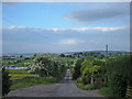
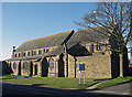
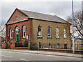
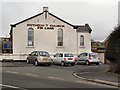
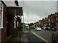
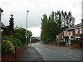
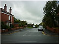
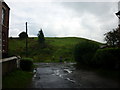
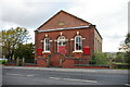
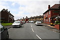
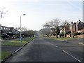
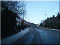
47 photos from this area
Area Information
Key information about the OL2 6XN including its size, population, and administrative classification.
- Area Type
- Postcode
- Area Size
- 1.0 hectares
- Population
- 1450
- Population Density
- 769 people/km²
House Prices in OL2 6XN
28
Properties
£129,200
Average Sold Price
£44,000
Lowest Price
£195,000
Highest Price
Showing 28 properties
| Address | Type | Beds | Baths | Last Sale Price | Last Sale Date | |
|---|---|---|---|---|---|---|
| 45 Springfield Lane, Royton, OL2 6XN | house | - | - | £195,000 | Mar 2025 | |
| 29 Springfield Lane, Royton, OL2 6XN | house | - | - | £185,000 | Aug 2021 | |
| 31 Springfield Lane, Royton, OL2 6XN | Terraced | 3 | 1 | £163,000 | Mar 2020 | |
| 39 Springfield Lane, Royton, OL2 6XN | house | - | - | £146,000 | Jan 2015 | |
| 40 Springfield Lane, Royton, OL2 6XN | house | 3 | - | £148,750 | Jul 2013 | |
| 27 Springfield Lane, Royton, OL2 6XN | house | - | - | £179,950 | Jun 2010 | |
| 55 Springfield Lane, Royton, OL2 6XN | house | - | - | £147,500 | Mar 2010 | |
| 25 Springfield Lane, Royton, OL2 6XN | Semi-detached | 3 | - | £110,000 | Nov 2006 | |
| 37 Springfield Lane, Royton, OL2 6XN | house | - | - | £160,000 | Feb 2003 | |
| 53 Springfield Lane, Royton, OL2 6XN | house | - | - | £82,000 | Sep 2002 |
Page 1 of 3
Energy Efficiency in OL2 6XN
Amenities
Schools
| Rank | School | Type | Entry gender | Ages |
|---|
Explore more schools in this area
Go to Schools tabDemographics
Household Size
Two person
most common
Accommodation Type
Houses
most common
Tenure
84
majority
Ethnic Group
White
most common
Religion
N/A
most common
Household Composition
N/A
most common
Age
47
median
Adults (30-64 years)
most common
Household Deprivation
N/A
with no deprivation
NS-SEC
39
in Lower managerial occupations
Explore more demographic insights in this area
Go to Demographics tabPlanning
Planning Constraints
- Flood RiskPremium
- Ramsar Wetland SitesPremium
- Area of Outstanding Natural BeautyPremium
- Protected Nature ReservePremium
- Protected WoodlandPremium