Area Overview for OL2 5UT
Photos of OL2 5UT
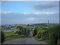
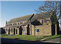
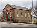
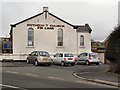
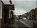
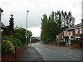
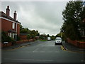
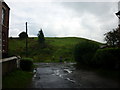
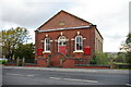
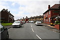
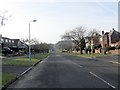
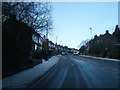
47 photos from this area
Area Information
Key information about the OL2 5UT including its size, population, and administrative classification.
- Area Type
- Postcode
- Area Size
- 1.0 hectares
- Population
- 1450
- Population Density
- 769 people/km²
House Prices in OL2 5UT
48
Properties
£167,232
Average Sold Price
£47,500
Lowest Price
£295,000
Highest Price
Showing 48 properties
| Address | Type | Beds | Baths | Last Sale Price | Last Sale Date | |
|---|---|---|---|---|---|---|
| 669 Rochdale Road, Royton, OL2 5UT | Terraced | 3 | 2 | £270,000 | May 2025 | |
| 691 Rochdale Road, Royton, OL2 5UT | Semi-detached | 3 | 1 | £295,000 | Mar 2025 | |
| 619 Rochdale Road, Royton, OL2 5UT | Terraced | 2 | 1 | £235,000 | Mar 2025 | |
| 703 Rochdale Road, Royton, OL2 5UT | Terraced | 3 | 1 | £185,000 | Aug 2024 | |
| 631 Rochdale Road, Royton, OL2 5UT | Terraced | 4 | 3 | £245,000 | Dec 2023 | |
| 683 Rochdale Road, Royton, OL2 5UT | house | - | - | £209,950 | Feb 2023 | |
| 627 Rochdale Road, Royton, OL2 5UT | house | - | - | £248,500 | Jan 2023 | |
| 725 Rochdale Road, Royton, OL2 5UT | Terraced | 2 | 1 | £182,000 | Sep 2022 | |
| 637 Rochdale Road, Royton, OL2 5UT | house | - | - | £214,950 | May 2022 | |
| 681 Rochdale Road, Royton, OL2 5UT | house | - | - | £261,000 | Dec 2021 |
Page 1 of 5
Energy Efficiency in OL2 5UT
Amenities
Schools
| Rank | School | Type | Entry gender | Ages |
|---|
Explore more schools in this area
Go to Schools tabDemographics
Household Size
Two person
most common
Accommodation Type
Houses
most common
Tenure
84
majority
Ethnic Group
White
most common
Religion
N/A
most common
Household Composition
N/A
most common
Age
47
median
Adults (30-64 years)
most common
Household Deprivation
N/A
with no deprivation
NS-SEC
39
in Lower managerial occupations
Explore more demographic insights in this area
Go to Demographics tabPlanning
Planning Constraints
- Flood RiskPremium
- Ramsar Wetland SitesPremium
- Area of Outstanding Natural BeautyPremium
- Protected Nature ReservePremium
- Protected WoodlandPremium