Area Overview for OL2 5UN
Photos of OL2 5UN
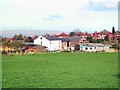
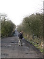
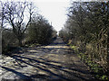
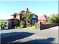
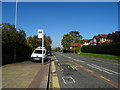
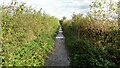
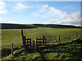
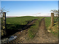
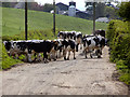
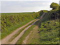
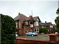
20 photos from this area
Area Information
Key information about the OL2 5UN including its size, population, and administrative classification.
- Area Type
- Postcode
- Area Size
- 22.0 hectares
- Population
- 1450
- Population Density
- 769 people/km²
House Prices in OL2 5UN
24
Properties
£173,444
Average Sold Price
£2,300
Lowest Price
£410,000
Highest Price
Showing 24 properties
| Address | Type | Beds | Baths | Last Sale Price | Last Sale Date | |
|---|---|---|---|---|---|---|
| 14 Thornham Old Road, Royton, OL2 5UN | Detached | - | - | £2,300 | Jun 2023 | |
| 4 Thornham Old Road, Royton, OL2 5UN | Detached | 4 | - | £410,000 | Oct 2021 | |
| 11 Thornham Old Road, Royton, OL2 5UN | Detached | 4 | 3 | £220,000 | Jan 2021 | |
| 18 Thornham Old Road, Royton, OL2 5UN | Detached | 5 | 2 | £390,000 | Oct 2020 | |
| 21 Thornham Old Road, Royton, OL2 5UN | Semi-detached | 3 | 1 | £280,000 | Jan 2020 | |
| 17 Thornham Old Road, Royton, OL2 5UN | house | - | - | £295,000 | Aug 2016 | |
| 10 Thornham Old Road, Royton, OL2 5UN | house | - | - | £240,000 | Mar 2010 | |
| 7 Thornham Old Road, Royton, OL2 5UN | house | - | - | £140,000 | Nov 2009 | |
| 9 Thornham Old Road, Royton, OL2 5UN | house | - | - | £205,000 | Oct 2007 | |
| 3 Thornham Old Road, Royton, OL2 5UN | Bungalow | - | - | £164,000 | Jun 2004 |
Page 1 of 3
Energy Efficiency in OL2 5UN
Amenities
Schools
| Rank | School | Type | Entry gender | Ages |
|---|
Explore more schools in this area
Go to Schools tabDemographics
Household Size
Two person
most common
Accommodation Type
Houses
most common
Tenure
84
majority
Ethnic Group
White
most common
Religion
N/A
most common
Household Composition
N/A
most common
Age
47
median
Adults (30-64 years)
most common
Household Deprivation
N/A
with no deprivation
NS-SEC
39
in Lower managerial occupations
Explore more demographic insights in this area
Go to Demographics tabPlanning
Planning Constraints
- Flood RiskPremium
- Ramsar Wetland SitesPremium
- Area of Outstanding Natural BeautyPremium
- Protected Nature ReservePremium
- Protected WoodlandPremium