Area Overview for OL2 5RJ
Photos of OL2 5RJ
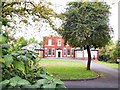
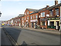
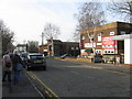
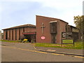
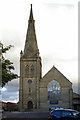
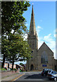
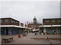
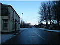
60 photos from this area
Area Information
Key information about the OL2 5RJ including its size, population, and administrative classification.
- Area Type
- Postcode
- Area Size
- 1.4 hectares
- Population
- 1588
- Population Density
- 5200 people/km²
House Prices in OL2 5RJ
77
Properties
£76,350
Average Sold Price
£39,200
Lowest Price
£124,500
Highest Price
Showing 77 properties
| Address | Type | Beds | Baths | Last Sale Price | Last Sale Date | |
|---|---|---|---|---|---|---|
| 30 Burnsall Grove, Royton, OL2 5RJ | Semi-detached | 3 | 1 | £124,500 | Nov 2019 | |
| 34 Burnsall Grove, Royton, OL2 5RJ | house | - | - | £68,000 | Feb 2018 | |
| 76 Burnsall Grove, Royton, OL2 5RJ | Maisonette | - | - | £70,000 | Mar 2016 | |
| 10 Burnsall Grove, Royton, OL2 5RJ | Flat | - | - | £55,000 | Feb 2016 | |
| 66 Burnsall Grove, Royton, OL2 5RJ | Flat | - | - | £90,500 | Apr 2008 | |
| 36 Burnsall Grove, Royton, OL2 5RJ | house | - | - | £82,000 | Mar 2008 | |
| 26 Burnsall Grove, Royton, OL2 5RJ | Terraced | - | - | £112,950 | Dec 2006 | |
| 12 Burnsall Grove, Royton, OL2 5RJ | Flat | - | - | £45,000 | Apr 2004 | |
| 74 Burnsall Grove, Royton, OL2 5RJ | Maisonette | - | - | £39,200 | Aug 2003 | |
| Block 1, Burnsall Grove, Royton, OL2 5RJ | commercial | - | - | - | - |
Page 1 of 8
Energy Efficiency in OL2 5RJ
Amenities
Schools
| Rank | School | Type | Entry gender | Ages |
|---|
Explore more schools in this area
Go to Schools tabDemographics
Household Size
One person
most common
Accommodation Type
Houses
most common
Tenure
38
majority
Ethnic Group
White
most common
Religion
N/A
most common
Household Composition
N/A
most common
Age
47
median
Adults (30-64 years)
most common
Household Deprivation
N/A
with no deprivation
NS-SEC
21
in Lower managerial occupations
Explore more demographic insights in this area
Go to Demographics tabPlanning
Planning Constraints
- Flood RiskPremium
- Ramsar Wetland SitesPremium
- Area of Outstanding Natural BeautyPremium
- Protected Nature ReservePremium
- Protected WoodlandPremium