Area Overview for OL2 5HJ
Photos of OL2 5HJ

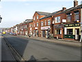
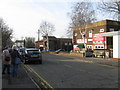
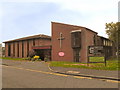

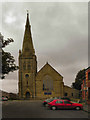
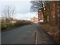
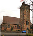
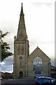
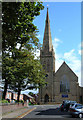
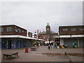
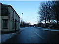
60 photos from this area
Area Information
Key information about the OL2 5HJ including its size, population, and administrative classification.
- Area Type
- Postcode
- Area Size
- 2475 m²
- Population
- 1221
- Population Density
- 3186 people/km²
House Prices in OL2 5HJ
6
Properties
£156,500
Average Sold Price
£146,000
Lowest Price
£165,000
Highest Price
Showing 6 properties
| Address | Type | Beds | Baths | Last Sale Price | Last Sale Date | |
|---|---|---|---|---|---|---|
| 70 Lea View, Royton, OL2 5HJ | Bungalow | - | - | £165,000 | Aug 2015 | |
| 93 Lea View, Royton, OL2 5HJ | house | 3 | 1 | £158,000 | May 2015 | |
| 95 Lea View, Royton, OL2 5HJ | house | - | - | £146,000 | Oct 2014 | |
| 68 Lea View, Royton, OL2 5HJ | house | - | - | £157,000 | Jul 2014 | |
| 99 Lea View, Royton, OL2 5HJ | Semi-detached | - | - | - | - | |
| 97 Lea View, Royton, OL2 5HJ | Semi-detached | - | - | - | - |
Energy Efficiency in OL2 5HJ
Amenities
Schools
| Rank | School | Type | Entry gender | Ages |
|---|
Explore more schools in this area
Go to Schools tabDemographics
Household Size
Two person
most common
Accommodation Type
Houses
most common
Tenure
84
majority
Ethnic Group
White
most common
Religion
N/A
most common
Household Composition
N/A
most common
Age
47
median
Adults (30-64 years)
most common
Household Deprivation
N/A
with no deprivation
NS-SEC
30
in Lower managerial occupations
Explore more demographic insights in this area
Go to Demographics tabPlanning
Planning Constraints
- Flood RiskPremium
- Ramsar Wetland SitesPremium
- Area of Outstanding Natural BeautyPremium
- Protected Nature ReservePremium
- Protected WoodlandPremium