Area Overview for OL16 5JS
Photos of OL16 5JS
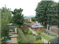
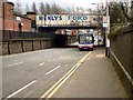
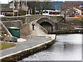
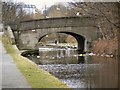
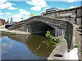
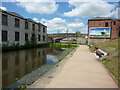
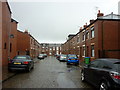
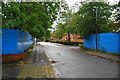
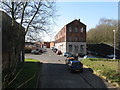
100 photos from this area
Area Information
Key information about the OL16 5JS including its size, population, and administrative classification.
- Area Type
- Postcode
- Area Size
- 3187 m²
- Population
- 2410
- Population Density
- 5465 people/km²
House Prices in OL16 5JS
23
Properties
£62,327
Average Sold Price
£700
Lowest Price
£110,000
Highest Price
Showing 23 properties
| Address | Type | Beds | Baths | Last Sale Price | Last Sale Date | |
|---|---|---|---|---|---|---|
| 111 Royds Street, Rochdale, OL16 5JS | house | - | - | £110,000 | Sep 2022 | |
| 92 Royds Street, Rochdale, OL16 5JS | Terraced | 2 | 1 | £75,000 | May 2022 | |
| 102 Royds Street, Rochdale, OL16 5JS | Terraced | 2 | 1 | £85,300 | Jun 2021 | |
| 86 Royds Street, Rochdale, OL16 5JS | house | - | - | £83,000 | Mar 2021 | |
| 78 Royds Street, Rochdale, OL16 5JS | house | - | - | £66,000 | Dec 2019 | |
| 88 Royds Street, Rochdale, OL16 5JS | Terraced | 2 | 1 | £59,950 | Nov 2019 | |
| 98 Royds Street, Rochdale, OL16 5JS | Terraced | 2 | 1 | £700 | Oct 2017 | |
| 101 Royds Street, Rochdale, OL16 5JS | house | 3 | - | £80,000 | Feb 2014 | |
| 80 Royds Street, Rochdale, OL16 5JS | Terraced | 2 | 1 | £62,000 | Jan 2014 | |
| 100 Royds Street, Rochdale, OL16 5JS | Terraced | 2 | - | £42,000 | Jun 2012 |
Page 1 of 3
Energy Efficiency in OL16 5JS
Amenities
Schools
| Rank | School | Type | Entry gender | Ages |
|---|
Explore more schools in this area
Go to Schools tabDemographics
Household Size
Family (3-5 people)
most common
Accommodation Type
Houses
most common
Tenure
36
majority
Ethnic Group
asian_total
most common
Religion
N/A
most common
Household Composition
N/A
most common
Age
22
median
Adults (30-64 years)
most common
Household Deprivation
N/A
with no deprivation
NS-SEC
13
in Lower managerial occupations
Explore more demographic insights in this area
Go to Demographics tabPlanning
Planning Constraints
- Flood RiskPremium
- Ramsar Wetland SitesPremium
- Area of Outstanding Natural BeautyPremium
- Protected Nature ReservePremium
- Protected WoodlandPremium