Area Overview for OL16 4SH
Photos of OL16 4SH
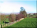
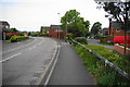
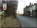
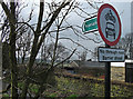
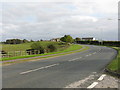
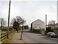
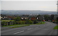
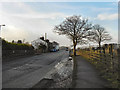
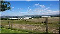
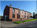
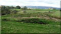
51 photos from this area
Area Information
Key information about the OL16 4SH including its size, population, and administrative classification.
- Area Type
- Postcode
- Area Size
- 9.0 hectares
- Population
- 2166
- Population Density
- 1097 people/km²
House Prices in OL16 4SH
21
Properties
£182,859
Average Sold Price
£38,000
Lowest Price
£382,500
Highest Price
Showing 21 properties
| Address | Type | Beds | Baths | Last Sale Price | Last Sale Date | |
|---|---|---|---|---|---|---|
| 121 Shaw Road, Rochdale, OL16 4SH | house | - | - | £382,500 | Sep 2023 | |
| 42 Shaw Road, Rochdale, OL16 4SH | Bungalow | 3 | 1 | £199,950 | Oct 2019 | |
| 44 Shaw Road, Rochdale, OL16 4SH | Bungalow | - | - | £373,000 | Jun 2019 | |
| 95 Shaw Road, Rochdale, OL16 4SH | Terraced | 3 | 2 | £167,000 | Feb 2018 | |
| 115 Shaw Road, Rochdale, OL16 4SH | house | - | - | £140,000 | Jan 2018 | |
| 99 Shaw Road, Rochdale, OL16 4SH | house | - | - | £235,000 | Oct 2017 | |
| 117 Shaw Road, Rochdale, OL16 4SH | house | - | - | £148,500 | Nov 2010 | |
| 40A Shaw Road, Rochdale, OL16 4SH | Detached | 3 | 1 | £170,000 | Nov 2009 | |
| 89 Shaw Road, Rochdale, OL16 4SH | house | - | - | £117,500 | Nov 2005 | |
| 97 Shaw Road, Rochdale, OL16 4SH | Terraced | - | - | £38,000 | Aug 1998 |
Page 1 of 3
Energy Efficiency in OL16 4SH
Amenities
Schools
| Rank | School | Type | Entry gender | Ages |
|---|
Explore more schools in this area
Go to Schools tabDemographics
Household Size
Family (3-5 people)
most common
Accommodation Type
Houses
most common
Tenure
89
majority
Ethnic Group
White
most common
Religion
N/A
most common
Household Composition
N/A
most common
Age
47
median
Adults (30-64 years)
most common
Household Deprivation
N/A
with no deprivation
NS-SEC
45
in Lower managerial occupations
Explore more demographic insights in this area
Go to Demographics tabPlanning
Planning Constraints
- Flood RiskPremium
- Ramsar Wetland SitesPremium
- Area of Outstanding Natural BeautyPremium
- Protected Nature ReservePremium
- Protected WoodlandPremium