Area Overview for OL16 4SE
Photos of OL16 4SE
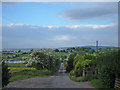
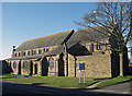
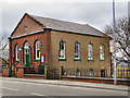
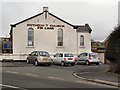
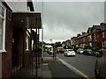
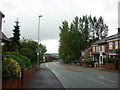
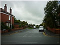
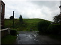
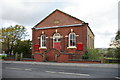
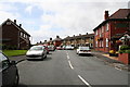
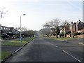
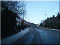
47 photos from this area
Area Information
Key information about the OL16 4SE including its size, population, and administrative classification.
- Area Type
- Postcode
- Area Size
- 1.0 hectares
- Population
- 2166
- Population Density
- 1097 people/km²
House Prices in OL16 4SE
21
Properties
£217,625
Average Sold Price
£28,000
Lowest Price
£507,500
Highest Price
Showing 21 properties
| Address | Type | Beds | Baths | Last Sale Price | Last Sale Date | |
|---|---|---|---|---|---|---|
| 961 Oldham Road, Rochdale, OL16 4SE | house | 3 | 1 | £212,500 | Sep 2023 | |
| 933 Oldham Road, Rochdale, OL16 4SE | house | - | - | £455,000 | Apr 2021 | |
| 939 Oldham Road, Rochdale, OL16 4SE | house | - | - | £507,500 | Nov 2020 | |
| 951 Oldham Road, Rochdale, OL16 4SE | house | - | - | £284,000 | Dec 2019 | |
| 953 Oldham Road, Rochdale, OL16 4SE | house | - | - | £188,000 | Nov 2018 | |
| 935 Oldham Road, Rochdale, OL16 4SE | house | - | - | £378,500 | Nov 2018 | |
| 929 Oldham Road, Rochdale, OL16 4SE | Detached | 4 | - | £365,000 | Mar 2018 | |
| 959 Oldham Road, Rochdale, OL16 4SE | Semi-detached | 3 | 1 | £153,000 | Mar 2017 | |
| 937 Oldham Road, Rochdale, OL16 4SE | house | - | - | £210,000 | Feb 2011 | |
| 965 Oldham Road, Rochdale, OL16 4SE | Terraced | - | - | £120,000 | May 2007 |
Page 1 of 3
Energy Efficiency in OL16 4SE
Amenities
Schools
| Rank | School | Type | Entry gender | Ages |
|---|
Explore more schools in this area
Go to Schools tabDemographics
Household Size
Family (3-5 people)
most common
Accommodation Type
Houses
most common
Tenure
89
majority
Ethnic Group
White
most common
Religion
N/A
most common
Household Composition
N/A
most common
Age
47
median
Adults (30-64 years)
most common
Household Deprivation
N/A
with no deprivation
NS-SEC
45
in Lower managerial occupations
Explore more demographic insights in this area
Go to Demographics tabPlanning
Planning Constraints
- Flood RiskPremium
- Ramsar Wetland SitesPremium
- Area of Outstanding Natural BeautyPremium
- Protected Nature ReservePremium
- Protected WoodlandPremium