Area Overview for OL16 4PJ
Photos of OL16 4PJ
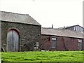
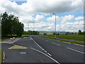
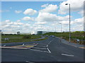
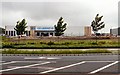
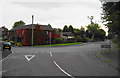
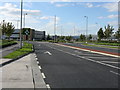
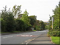
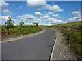
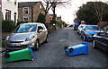
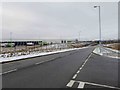
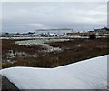
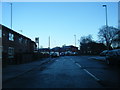
49 photos from this area
Area Information
Key information about the OL16 4PJ including its size, population, and administrative classification.
- Area Type
- Postcode
- Area Size
- 2.4 hectares
- Population
- 1571
- Population Density
- 5290 people/km²
House Prices in OL16 4PJ
40
Properties
£253,634
Average Sold Price
£98,250
Lowest Price
£540,000
Highest Price
Showing 40 properties
| Address | Type | Beds | Baths | Last Sale Price | Last Sale Date | |
|---|---|---|---|---|---|---|
| 32 Wrenbury Drive, Rochdale, OL16 4PJ | Detached | 4 | 3 | £400,000 | Oct 2024 | |
| 30 Wrenbury Drive, Rochdale, OL16 4PJ | Detached | 4 | 2 | £385,000 | Aug 2023 | |
| 33 Wrenbury Drive, Rochdale, OL16 4PJ | Detached | 5 | 3 | £463,000 | Jun 2023 | |
| 39 Wrenbury Drive, Rochdale, OL16 4PJ | Detached | 4 | 3 | £300,000 | Mar 2023 | |
| 12 Wrenbury Drive, Rochdale, OL16 4PJ | house | - | - | £452,500 | Mar 2023 | |
| 37 Wrenbury Drive, Rochdale, OL16 4PJ | house | - | - | £540,000 | Dec 2021 | |
| 25 Wrenbury Drive, Rochdale, OL16 4PJ | house | - | - | £430,000 | Oct 2021 | |
| 45 Wrenbury Drive, Rochdale, OL16 4PJ | Detached | 4 | 2 | £372,000 | Mar 2020 | |
| 23 Wrenbury Drive, Rochdale, OL16 4PJ | house | - | - | £192,000 | Jan 2020 | |
| 31 Wrenbury Drive, Rochdale, OL16 4PJ | house | - | - | £260,000 | Nov 2018 |
Page 1 of 4
Energy Efficiency in OL16 4PJ
Amenities
Schools
| Rank | School | Type | Entry gender | Ages |
|---|
Explore more schools in this area
Go to Schools tabDemographics
Household Size
Family (3-5 people)
most common
Accommodation Type
Houses
most common
Tenure
55
majority
Ethnic Group
White
most common
Religion
N/A
most common
Household Composition
N/A
most common
Age
47
median
Adults (30-64 years)
most common
Household Deprivation
N/A
with no deprivation
NS-SEC
20
in Lower managerial occupations
Explore more demographic insights in this area
Go to Demographics tabPlanning
Planning Constraints
- Flood RiskPremium
- Ramsar Wetland SitesPremium
- Area of Outstanding Natural BeautyPremium
- Protected Nature ReservePremium
- Protected WoodlandPremium