Area Overview for OL16 4ND
Photos of OL16 4ND
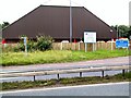
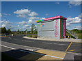
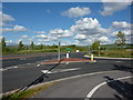
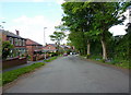
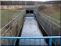
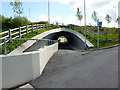
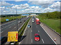
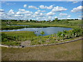
36 photos from this area
Area Information
Key information about the OL16 4ND including its size, population, and administrative classification.
- Area Type
- Postcode
- Area Size
- 11.1 hectares
- Population
- 1428
- Population Density
- 1051 people/km²
House Prices in OL16 4ND
33
Properties
£221,676
Average Sold Price
£66,500
Lowest Price
£515,000
Highest Price
Showing 33 properties
| Address | Type | Beds | Baths | Last Sale Price | Last Sale Date | |
|---|---|---|---|---|---|---|
| 33 Whitebeam Close, Milnrow, OL16 4ND | Detached | 4 | 1 | £515,000 | May 2024 | |
| 14 Whitebeam Close, Milnrow, OL16 4ND | house | 4 | 1 | £410,000 | Nov 2022 | |
| 2 Whitebeam Close, Milnrow, OL16 4ND | house | - | - | £463,000 | Aug 2022 | |
| 1 Whitebeam Close, Milnrow, OL16 4ND | house | - | - | £355,000 | Jan 2022 | |
| 5A Whitebeam Close, Milnrow, OL16 4ND | house | - | - | £404,500 | Jun 2021 | |
| 19 Whitebeam Close, Milnrow, OL16 4ND | house | 4 | 1 | £230,000 | Dec 2016 | |
| 25 Whitebeam Close, Milnrow, OL16 4ND | house | - | - | £185,000 | May 2007 | |
| 24 Whitebeam Close, Milnrow, OL16 4ND | house | - | - | £230,000 | Feb 2007 | |
| 17 Whitebeam Close, Milnrow, OL16 4ND | Detached | - | - | £212,000 | Feb 2007 | |
| 6 Whitebeam Close, Milnrow, OL16 4ND | Detached | - | - | £180,000 | Jul 2004 |
Page 1 of 4
Energy Efficiency in OL16 4ND
Amenities
Schools
| Rank | School | Type | Entry gender | Ages |
|---|
Explore more schools in this area
Go to Schools tabDemographics
Household Size
Two person
most common
Accommodation Type
Houses
most common
Tenure
87
majority
Ethnic Group
White
most common
Religion
N/A
most common
Household Composition
N/A
most common
Age
47
median
Adults (30-64 years)
most common
Household Deprivation
N/A
with no deprivation
NS-SEC
37
in Lower managerial occupations
Explore more demographic insights in this area
Go to Demographics tabPlanning
Planning Constraints
- Flood RiskPremium
- Ramsar Wetland SitesPremium
- Area of Outstanding Natural BeautyPremium
- Protected Nature ReservePremium
- Protected WoodlandPremium