Area Overview for OL16 3TR
Photos of OL16 3TR
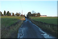
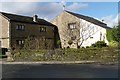
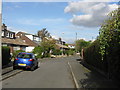
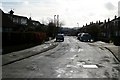
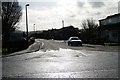
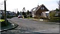
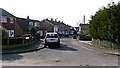
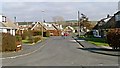
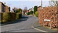
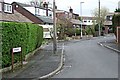
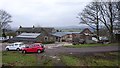
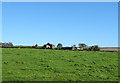
44 photos from this area
Area Information
Key information about the OL16 3TR including its size, population, and administrative classification.
- Area Type
- Postcode
- Area Size
- 70.3 hectares
- Population
- 1383
- Population Density
- 395 people/km²
House Prices in OL16 3TR
13
Properties
£388,750
Average Sold Price
£130,000
Lowest Price
£650,000
Highest Price
Showing 13 properties
| Address | Type | Beds | Baths | Last Sale Price | Last Sale Date | |
|---|---|---|---|---|---|---|
| Acre House, Kiln Lane, Milnrow, OL16 3TR | Bungalow | - | - | £650,000 | Dec 2021 | |
| Hollin Hall, Kiln Lane, Milnrow, OL16 3TR | Semi-detached | 3 | 1 | £215,000 | Jul 2016 | |
| Heights Barn Farm, Kiln Lane, Milnrow, OL16 3TR | house | 4 | - | £560,000 | Jan 2007 | |
| Heights Barn Farm Cottage, Kiln Lane, Milnrow, OL16 3TR | Terraced | - | - | £130,000 | Aug 1998 | |
| Annis Hill Farm Cottage, Kiln Lane, Milnrow, OL16 3TR | Bungalow | - | - | - | - | |
| Lower Crows Nest Farm, Kiln Lane, Milnrow, OL16 3TR | house | - | - | - | - | |
| The Caravan, Lower Crows Nest Farm, Kiln Lane, Milnrow, OL16 3TR | Mobile Home | - | - | - | - | |
| Caravan At, Broad Carr Farm, Kiln Lane, Milnrow, OL16 3TR | Mobile Home | - | - | - | - | |
| Broad Carr Farm, Kiln Lane, Milnrow, OL16 3TR | house | - | - | - | - | |
| The Barn House, Kiln Lane, Milnrow, OL16 3TR | Detached | 4 | 3 | - | - |
Page 1 of 2
Energy Efficiency in OL16 3TR
Amenities
Schools
| Rank | School | Type | Entry gender | Ages |
|---|
Explore more schools in this area
Go to Schools tabDemographics
Household Size
Family (3-5 people)
most common
Accommodation Type
Houses
most common
Tenure
83
majority
Ethnic Group
White
most common
Religion
N/A
most common
Household Composition
N/A
most common
Age
47
median
Adults (30-64 years)
most common
Household Deprivation
N/A
with no deprivation
NS-SEC
42
in Lower managerial occupations
Explore more demographic insights in this area
Go to Demographics tabPlanning
Planning Constraints
- Flood RiskPremium
- Ramsar Wetland SitesPremium
- Area of Outstanding Natural BeautyPremium
- Protected Nature ReservePremium
- Protected WoodlandPremium