Area Overview for OL15 9LJ
Photos of OL15 9LJ
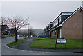
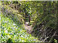
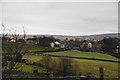
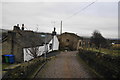
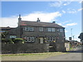
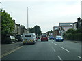
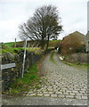
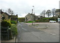
40 photos from this area
Area Information
Key information about the OL15 9LJ including its size, population, and administrative classification.
- Area Type
- Postcode
- Area Size
- 7311 m²
- Population
- 1564
- Population Density
- 1333 people/km²
House Prices in OL15 9LJ
4
Properties
£106,083
Average Sold Price
£88,250
Lowest Price
£133,000
Highest Price
Showing 4 properties
| Address | Type | Beds | Baths | Last Sale Price | Last Sale Date | |
|---|---|---|---|---|---|---|
| 103 Shore Road, Littleborough, OL15 9LJ | Semi-detached | - | - | £133,000 | Dec 2009 | |
| 101 Shore Road, Littleborough, OL15 9LJ | Semi-detached | - | - | £97,000 | Nov 2002 | |
| 105 Shore Road, Littleborough, OL15 9LJ | Detached | - | - | £88,250 | May 2001 | |
| Landlake Cottage, Shore Road, Littleborough, OL15 9LJ | Detached | - | - | - | - |
Energy Efficiency in OL15 9LJ
Amenities
Schools
| Rank | School | Type | Entry gender | Ages |
|---|
Explore more schools in this area
Go to Schools tabDemographics
Household Size
Family (3-5 people)
most common
Accommodation Type
Houses
most common
Tenure
83
majority
Ethnic Group
White
most common
Religion
N/A
most common
Household Composition
N/A
most common
Age
47
median
Adults (30-64 years)
most common
Household Deprivation
N/A
with no deprivation
NS-SEC
34
in Lower managerial occupations
Explore more demographic insights in this area
Go to Demographics tabPlanning
Planning Constraints
- Flood RiskPremium
- Ramsar Wetland SitesPremium
- Area of Outstanding Natural BeautyPremium
- Protected Nature ReservePremium
- Protected WoodlandPremium