Area Overview for OL13 9SD
Photos of OL13 9SD
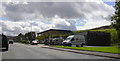

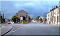
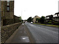
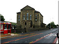
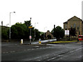
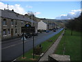
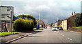
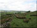
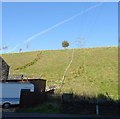
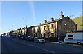
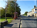
34 photos from this area
Area Information
Key information about the OL13 9SD including its size, population, and administrative classification.
- Area Type
- Postcode
- Area Size
- 2.5 hectares
- Population
- 2924
- Population Density
- 1432 people/km²
House Prices in OL13 9SD
44
Properties
£152,463
Average Sold Price
£46,000
Lowest Price
£500,000
Highest Price
Showing 44 properties
| Address | Type | Beds | Baths | Last Sale Price | Last Sale Date | |
|---|---|---|---|---|---|---|
| 416 Rochdale Road, Bacup, OL13 9SD | Semi-detached | 3 | 1 | £177,500 | Sep 2025 | |
| 502 Rochdale Road, Bacup, OL13 9SD | Terraced | 2 | 1 | £140,000 | May 2024 | |
| The Mullions, Rochdale Road, Bacup, OL13 9SD | Detached | 4 | 2 | £420,000 | Feb 2024 | |
| 424 Rochdale Road, Bacup, OL13 9SD | Semi-detached | 3 | 1 | £159,950 | Jun 2023 | |
| 402 Rochdale Road, Bacup, OL13 9SD | Terraced | 3 | 2 | £250,000 | Jan 2023 | |
| Oaklands, Rochdale Road, Bacup, OL13 9SD | Detached | 4 | 2 | £500,000 | Nov 2022 | |
| 452 Rochdale Road, Bacup, OL13 9SD | house | 2 | 1 | £125,000 | Jul 2022 | |
| 2, Britannia Heights, Rochdale Road, Bacup, OL13 9SD | house | 5 | 4 | £424,950 | Jun 2022 | |
| 450 Rochdale Road, Bacup, OL13 9SD | Terraced | 2 | 1 | £120,000 | Jun 2022 | |
| The Laurels, Rochdale Road, Bacup, OL13 9SD | house | - | - | £365,000 | Mar 2022 |
Page 1 of 5
Energy Efficiency in OL13 9SD
Amenities
Schools
| Rank | School | Type | Entry gender | Ages |
|---|
Explore more schools in this area
Go to Schools tabDemographics
Household Size
Family (3-5 people)
most common
Accommodation Type
Houses
most common
Tenure
82
majority
Ethnic Group
White
most common
Religion
N/A
most common
Household Composition
N/A
most common
Age
47
median
Adults (30-64 years)
most common
Household Deprivation
N/A
with no deprivation
NS-SEC
36
in Lower managerial occupations
Explore more demographic insights in this area
Go to Demographics tabPlanning
Planning Constraints
- Flood RiskPremium
- Ramsar Wetland SitesPremium
- Area of Outstanding Natural BeautyPremium
- Protected Nature ReservePremium
- Protected WoodlandPremium