Area Overview for OL13 9HJ
Photos of OL13 9HJ
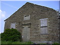
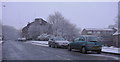
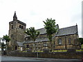
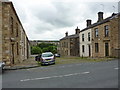
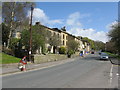
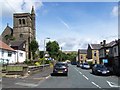
97 photos from this area
Area Information
Key information about the OL13 9HJ including its size, population, and administrative classification.
- Area Type
- Postcode
- Area Size
- 1.4 hectares
- Population
- 1693
- Population Density
- 1970 people/km²
House Prices in OL13 9HJ
30
Properties
£125,433
Average Sold Price
£32,000
Lowest Price
£400,000
Highest Price
Showing 30 properties
| Address | Type | Beds | Baths | Last Sale Price | Last Sale Date | |
|---|---|---|---|---|---|---|
| 76 Todmorden Road, Bacup, OL13 9HJ | Terraced | 3 | 1 | £135,000 | Jul 2025 | |
| 74 Todmorden Road, Bacup, OL13 9HJ | Terraced | 2 | 1 | £138,500 | Feb 2023 | |
| 56 Todmorden Road, Bacup, OL13 9HJ | house | - | - | £80,000 | May 2022 | |
| 36 Todmorden Road, Bacup, OL13 9HJ | house | - | - | £300,000 | Aug 2021 | |
| 30 Todmorden Road, Bacup, OL13 9HJ | Terraced | 2 | 1 | £143,500 | Mar 2020 | |
| Half Acre House, Greens Lane, Bacup, OL13 9HJ | Detached | 5 | 1 | £400,000 | Aug 2019 | |
| 68 Todmorden Road, Bacup, OL13 9HJ | Terraced | - | - | £95,000 | Jan 2019 | |
| 52 Todmorden Road, Bacup, OL13 9HJ | Terraced | 2 | 1 | £57,500 | Mar 2018 | |
| 66 Todmorden Road, Bacup, OL13 9HJ | Terraced | 2 | - | £91,000 | Jun 2014 | |
| 60 Todmorden Road, Bacup, OL13 9HJ | Terraced | 2 | - | £56,000 | May 2014 |
Page 1 of 3
Energy Efficiency in OL13 9HJ
Amenities
Schools
| Rank | School | Type | Entry gender | Ages |
|---|
Explore more schools in this area
Go to Schools tabDemographics
Household Size
Two person
most common
Accommodation Type
Houses
most common
Tenure
66
majority
Ethnic Group
White
most common
Religion
N/A
most common
Household Composition
N/A
most common
Age
47
median
Adults (30-64 years)
most common
Household Deprivation
N/A
with no deprivation
NS-SEC
27
in Lower managerial occupations
Explore more demographic insights in this area
Go to Demographics tabPlanning
Planning Constraints
- Flood RiskPremium
- Ramsar Wetland SitesPremium
- Area of Outstanding Natural BeautyPremium
- Protected Nature ReservePremium
- Protected WoodlandPremium