Area Overview for OL13 0SF
Photos of OL13 0SF
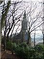
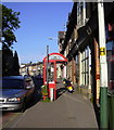
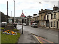
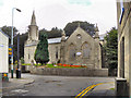
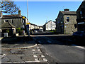
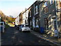
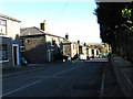
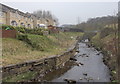
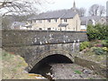
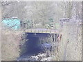
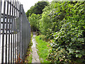
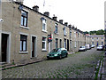
100 photos from this area
Area Information
Key information about the OL13 0SF including its size, population, and administrative classification.
- Area Type
- Postcode
- Area Size
- 2.0 hectares
- Population
- 1067
- Population Density
- 480 people/km²
House Prices in OL13 0SF
47
Properties
£117,621
Average Sold Price
£34,500
Lowest Price
£500,000
Highest Price
Showing 47 properties
| Address | Type | Beds | Baths | Last Sale Price | Last Sale Date | |
|---|---|---|---|---|---|---|
| 70 Booth Road, Stacksteads, Bacup, OL13 0SF | Terraced | 3 | 1 | £185,000 | Feb 2025 | |
| 78 Booth Road, Stacksteads, Bacup, OL13 0SF | Terraced | 3 | 2 | £155,000 | Jan 2023 | |
| Heath Hill, Booth Road, Stacksteads, Bacup, OL13 0SF | Detached | 5 | 2 | £500,000 | Jun 2021 | |
| 51 Booth Road, Stacksteads, Bacup, OL13 0SF | Semi-detached | 3 | 1 | £160,000 | Apr 2019 | |
| 47 Booth Road, Stacksteads, Bacup, OL13 0SF | Semi-detached | 3 | 1 | £143,000 | Aug 2018 | |
| 57 Booth Road, Stacksteads, Bacup, OL13 0SF | Semi-detached | 3 | - | £78,000 | Jul 2018 | |
| 92 Booth Road, Stacksteads, Bacup, OL13 0SF | Semi-detached | 3 | 1 | £115,000 | Nov 2016 | |
| 46 Booth Road, Stacksteads, Bacup, OL13 0SF | house | - | - | £125,000 | Aug 2016 | |
| 42 Booth Road, Stacksteads, Bacup, OL13 0SF | Semi-detached | 3 | 1 | £118,000 | Feb 2016 | |
| 64 Booth Road, Stacksteads, Bacup, OL13 0SF | house | 3 | 1 | £115,000 | Sep 2013 |
Page 1 of 5
Energy Efficiency in OL13 0SF
Amenities
Schools
| Rank | School | Type | Entry gender | Ages |
|---|
Explore more schools in this area
Go to Schools tabDemographics
Household Size
One person
most common
Accommodation Type
Houses
most common
Tenure
52
majority
Ethnic Group
White
most common
Religion
N/A
most common
Household Composition
N/A
most common
Age
47
median
Adults (30-64 years)
most common
Household Deprivation
N/A
with no deprivation
NS-SEC
22
in Lower managerial occupations
Explore more demographic insights in this area
Go to Demographics tabPlanning
Planning Constraints
- Flood RiskPremium
- Ramsar Wetland SitesPremium
- Area of Outstanding Natural BeautyPremium
- Protected Nature ReservePremium
- Protected WoodlandPremium