Area Overview for OL13 0NB
Photos of OL13 0NB
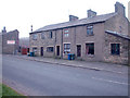
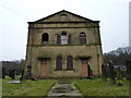
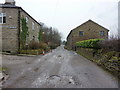
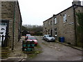
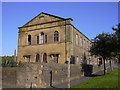
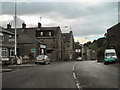
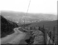
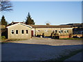
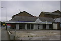
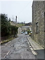
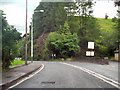
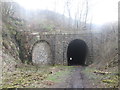
64 photos from this area
Area Information
Key information about the OL13 0NB including its size, population, and administrative classification.
- Area Type
- Postcode
- Area Size
- 2.7 hectares
- Population
- 1067
- Population Density
- 480 people/km²
House Prices in OL13 0NB
34
Properties
£120,500
Average Sold Price
£30,000
Lowest Price
£207,500
Highest Price
Showing 34 properties
| Address | Type | Beds | Baths | Last Sale Price | Last Sale Date | |
|---|---|---|---|---|---|---|
| 524 Newchurch Road, Stacksteads, Bacup, OL13 0NB | Terraced | 3 | 1 | £207,500 | Aug 2025 | |
| 456 Newchurch Road, Stacksteads, Bacup, OL13 0NB | Terraced | 3 | 2 | £125,000 | Apr 2024 | |
| 458 Newchurch Road, Stacksteads, Bacup, OL13 0NB | Terraced | 2 | 1 | £115,000 | Mar 2024 | |
| 375 Newchurch Road, Stacksteads, Bacup, OL13 0NB | Terraced | 3 | 1 | £150,000 | Aug 2023 | |
| 367 Newchurch Road, Stacksteads, Bacup, OL13 0NB | Terraced | 3 | 1 | £150,000 | Jul 2023 | |
| 522 Newchurch Road, Stacksteads, Bacup, OL13 0NB | Semi-detached | 3 | 1 | £125,000 | Jun 2023 | |
| 520 Newchurch Road, Stacksteads, Bacup, OL13 0NB | house | 3 | 1 | £152,000 | May 2022 | |
| 470 Newchurch Road, Stacksteads, Bacup, OL13 0NB | house | 3 | 1 | £170,000 | Mar 2022 | |
| 439 Newchurch Road, Stacksteads, Bacup, OL13 0NB | Terraced | 4 | 1 | £115,000 | Jun 2017 | |
| 369 Newchurch Road, Stacksteads, Bacup, OL13 0NB | Terraced | 2 | 1 | £60,000 | Mar 2016 |
Page 1 of 4
Energy Efficiency in OL13 0NB
Amenities
Schools
| Rank | School | Type | Entry gender | Ages |
|---|
Explore more schools in this area
Go to Schools tabDemographics
Household Size
One person
most common
Accommodation Type
Houses
most common
Tenure
52
majority
Ethnic Group
White
most common
Religion
N/A
most common
Household Composition
N/A
most common
Age
47
median
Adults (30-64 years)
most common
Household Deprivation
N/A
with no deprivation
NS-SEC
22
in Lower managerial occupations
Explore more demographic insights in this area
Go to Demographics tabPlanning
Planning Constraints
- Flood RiskPremium
- Ramsar Wetland SitesPremium
- Area of Outstanding Natural BeautyPremium
- Protected Nature ReservePremium
- Protected WoodlandPremium