Area Overview for OL12 9NX
Photos of OL12 9NX
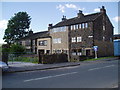
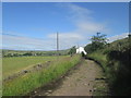
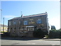
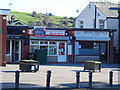
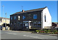
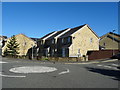
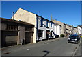
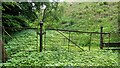
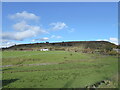
31 photos from this area
Area Information
Key information about the OL12 9NX including its size, population, and administrative classification.
- Area Type
- Postcode
- Area Size
- 1.2 hectares
- Population
- 1979
- Population Density
- 278 people/km²
House Prices in OL12 9NX
40
Properties
£114,845
Average Sold Price
£30,000
Lowest Price
£272,500
Highest Price
Showing 40 properties
| Address | Type | Beds | Baths | Last Sale Price | Last Sale Date | |
|---|---|---|---|---|---|---|
| 153A Ramsden Road, Wardle, Rochdale, OL12 9NX | house | - | - | £250,000 | Dec 2025 | |
| 131 Ramsden Road, Wardle, Rochdale, OL12 9NX | house | - | - | £272,500 | Aug 2021 | |
| 107 Ramsden Road, Wardle, Rochdale, OL12 9NX | house | - | - | £90,000 | Sep 2019 | |
| 131B Ramsden Road, Wardle, Rochdale, OL12 9NX | Terraced | 2 | - | £81,000 | Feb 2017 | |
| 135A Ramsden Road, Wardle, Rochdale, OL12 9NX | Flat | - | - | £30,000 | Nov 2011 | |
| 125 Ramsden Road, Wardle, Rochdale, OL12 9NX | Terraced | - | - | £105,000 | Jun 2009 | |
| 103 Ramsden Road, Wardle, Rochdale, OL12 9NX | house | - | - | £115,000 | Dec 2007 | |
| 105 Ramsden Road, Wardle, Rochdale, OL12 9NX | house | - | - | £110,000 | Nov 2006 | |
| 127 Ramsden Road, Wardle, Rochdale, OL12 9NX | house | - | - | £59,950 | Aug 2002 | |
| 139 Ramsden Road, Wardle, Rochdale, OL12 9NX | Terraced | - | - | £35,000 | May 2000 |
Page 1 of 4
Energy Efficiency in OL12 9NX
Amenities
Schools
| Rank | School | Type | Entry gender | Ages |
|---|
Explore more schools in this area
Go to Schools tabDemographics
Household Size
Family (3-5 people)
most common
Accommodation Type
Houses
most common
Tenure
79
majority
Ethnic Group
White
most common
Religion
N/A
most common
Household Composition
N/A
most common
Age
47
median
Adults (30-64 years)
most common
Household Deprivation
N/A
with no deprivation
NS-SEC
38
in Lower managerial occupations
Explore more demographic insights in this area
Go to Demographics tabPlanning
Planning Constraints
- Flood RiskPremium
- Ramsar Wetland SitesPremium
- Area of Outstanding Natural BeautyPremium
- Protected Nature ReservePremium
- Protected WoodlandPremium