Area Overview for OL12 8SW
Photos of OL12 8SW
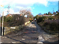
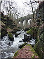
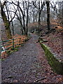
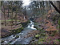
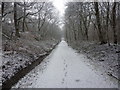
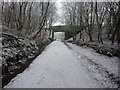
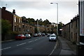
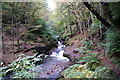
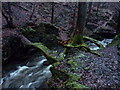
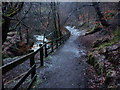
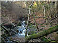
44 photos from this area
Area Information
Key information about the OL12 8SW including its size, population, and administrative classification.
- Area Type
- Postcode
- Area Size
- 1.8 hectares
- Population
- 1600
- Population Density
- 615 people/km²
House Prices in OL12 8SW
22
Properties
£113,453
Average Sold Price
£42,000
Lowest Price
£187,000
Highest Price
Showing 22 properties
| Address | Type | Beds | Baths | Last Sale Price | Last Sale Date | |
|---|---|---|---|---|---|---|
| 23 Horsefield Avenue, Whitworth, Rochdale, OL12 8SW | Retail | 3 | 1 | £187,000 | Apr 2022 | |
| 17 Horsefield Avenue, Whitworth, Rochdale, OL12 8SW | house | 3 | - | £171,000 | Dec 2021 | |
| 9 Horsefield Avenue, Whitworth, Rochdale, OL12 8SW | house | - | - | £160,000 | Aug 2021 | |
| 4 Horsefield Avenue, Whitworth, Rochdale, OL12 8SW | Semi-detached | 4 | 1 | £170,000 | Jun 2020 | |
| 1 Horsefield Avenue, Whitworth, Rochdale, OL12 8SW | Semi-detached | 3 | 1 | £170,000 | Mar 2019 | |
| 11 Horsefield Avenue, Whitworth, Rochdale, OL12 8SW | house | - | - | £100,000 | May 2017 | |
| 12 Horsefield Avenue, Whitworth, Rochdale, OL12 8SW | Semi-detached | 3 | 1 | £117,995 | Dec 2012 | |
| 16 Horsefield Avenue, Whitworth, Rochdale, OL12 8SW | Semi-detached | - | - | £128,000 | Sep 2004 | |
| 19 Horsefield Avenue, Whitworth, Rochdale, OL12 8SW | Terraced | - | - | £81,950 | Oct 2003 | |
| 21 Horsefield Avenue, Whitworth, Rochdale, OL12 8SW | Semi-detached | 3 | 1 | £54,950 | Feb 2002 |
Page 1 of 3
Energy Efficiency in OL12 8SW
Amenities
Schools
| Rank | School | Type | Entry gender | Ages |
|---|
Explore more schools in this area
Go to Schools tabDemographics
Household Size
Two person
most common
Accommodation Type
Houses
most common
Tenure
84
majority
Ethnic Group
White
most common
Religion
N/A
most common
Household Composition
N/A
most common
Age
47
median
Adults (30-64 years)
most common
Household Deprivation
N/A
with no deprivation
NS-SEC
38
in Lower managerial occupations
Explore more demographic insights in this area
Go to Demographics tabPlanning
Planning Constraints
- Flood RiskPremium
- Ramsar Wetland SitesPremium
- Area of Outstanding Natural BeautyPremium
- Protected Nature ReservePremium
- Protected WoodlandPremium