Area Overview for OL12 7NW
Photos of OL12 7NW
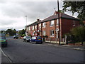
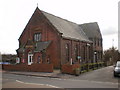
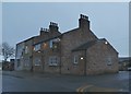
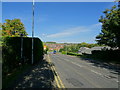
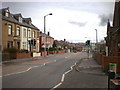
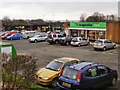
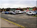
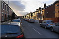
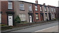
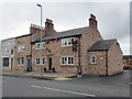
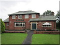
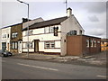
18 photos from this area
Area Information
Key information about the OL12 7NW including its size, population, and administrative classification.
- Area Type
- Postcode
- Area Size
- 1.9 hectares
- Population
- 1316
- Population Density
- 3309 people/km²
House Prices in OL12 7NW
42
Properties
£86,464
Average Sold Price
£28,000
Lowest Price
£120,000
Highest Price
Showing 42 properties
| Address | Type | Beds | Baths | Last Sale Price | Last Sale Date | |
|---|---|---|---|---|---|---|
| 95 Cutgate Road, Rochdale, OL12 7NW | house | - | - | £120,000 | Nov 2024 | |
| 69 Cutgate Road, Rochdale, OL12 7NW | house | - | - | £110,000 | Aug 2021 | |
| 65 Cutgate Road, Rochdale, OL12 7NW | house | 2 | 1 | £108,000 | Oct 2018 | |
| 85 Cutgate Road, Rochdale, OL12 7NW | house | 2 | - | £76,000 | Apr 2013 | |
| 91 Cutgate Road, Rochdale, OL12 7NW | Semi-detached | - | - | £89,617 | Nov 2007 | |
| 77 Cutgate Road, Rochdale, OL12 7NW | Semi-detached | - | - | £110,000 | Jun 2007 | |
| 57 Cutgate Road, Rochdale, OL12 7NW | house | - | - | £95,000 | Dec 2005 | |
| 87 Cutgate Road, Rochdale, OL12 7NW | house | - | - | £100,000 | Dec 2004 | |
| 73 Cutgate Road, Rochdale, OL12 7NW | house | - | - | £84,000 | Aug 2004 | |
| 59 Cutgate Road, Rochdale, OL12 7NW | Semi-detached | - | - | £59,000 | Feb 2004 |
Page 1 of 5
Energy Efficiency in OL12 7NW
Amenities
Schools
| Rank | School | Type | Entry gender | Ages |
|---|
Explore more schools in this area
Go to Schools tabDemographics
Household Size
One person
most common
Accommodation Type
Houses
most common
Tenure
56
majority
Ethnic Group
White
most common
Religion
N/A
most common
Household Composition
N/A
most common
Age
47
median
Adults (30-64 years)
most common
Household Deprivation
N/A
with no deprivation
NS-SEC
26
in Lower managerial occupations
Explore more demographic insights in this area
Go to Demographics tabPlanning
Planning Constraints
- Flood RiskPremium
- Ramsar Wetland SitesPremium
- Area of Outstanding Natural BeautyPremium
- Protected Nature ReservePremium
- Protected WoodlandPremium