Area Overview for OL12 6LB
Photos of OL12 6LB
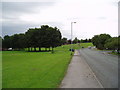
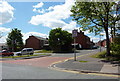
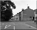
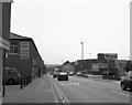
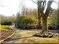
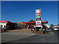
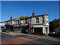
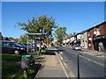
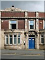
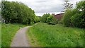
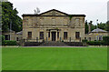
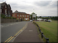
38 photos from this area
Area Information
Key information about the OL12 6LB including its size, population, and administrative classification.
- Area Type
- Postcode
- Area Size
- 6.1 hectares
- Population
- 1485
- Population Density
- 8102 people/km²
House Prices in OL12 6LB
69
Properties
£149,045
Average Sold Price
£39,995
Lowest Price
£375,000
Highest Price
Showing 69 properties
| Address | Type | Beds | Baths | Last Sale Price | Last Sale Date | |
|---|---|---|---|---|---|---|
| 28 Falinge Road, Rochdale, OL12 6LB | house | 3 | - | £175,000 | Oct 2021 | |
| 59 Falinge Road, Rochdale, OL12 6LB | house | - | - | £248,000 | Feb 2021 | |
| 63 Falinge Road, Rochdale, OL12 6LB | house | - | - | £255,000 | Nov 2020 | |
| 49 Falinge Road, Rochdale, OL12 6LB | house | 6 | 2 | £170,000 | Oct 2020 | |
| 61 Falinge Road, Rochdale, OL12 6LB | house | 3 | 1 | £191,000 | Jun 2020 | |
| 24 Falinge Road, Rochdale, OL12 6LB | Cottage | 2 | 1 | £75,000 | Jul 2018 | |
| 71 Falinge Road, Rochdale, OL12 6LB | house | - | - | £300,000 | Mar 2018 | |
| 22 Falinge Road, Rochdale, OL12 6LB | Cottage | 2 | 1 | £39,995 | Aug 2017 | |
| 26 Falinge Road, Rochdale, OL12 6LB | house | - | - | £77,000 | Jun 2015 | |
| 47 Falinge Road, Rochdale, OL12 6LB | house | - | - | £220,000 | May 2007 |
Page 1 of 7
Energy Efficiency in OL12 6LB
Amenities
Schools
| Rank | School | Type | Entry gender | Ages |
|---|
Explore more schools in this area
Go to Schools tabDemographics
Household Size
One person
most common
Accommodation Type
Flats
most common
Tenure
31
majority
Ethnic Group
asian_total
most common
Religion
N/A
most common
Household Composition
N/A
most common
Age
47
median
Adults (30-64 years)
most common
Household Deprivation
N/A
with no deprivation
NS-SEC
13
in Lower managerial occupations
Explore more demographic insights in this area
Go to Demographics tabPlanning
Planning Constraints
- Flood RiskPremium
- Ramsar Wetland SitesPremium
- Area of Outstanding Natural BeautyPremium
- Protected Nature ReservePremium
- Protected WoodlandPremium