Area Overview for OL11 4PZ
Photos of OL11 4PZ
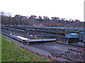
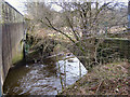
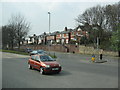
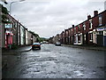
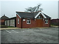
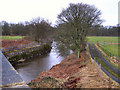
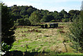
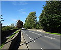
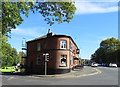
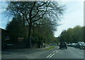
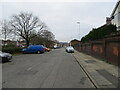
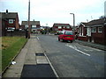
25 photos from this area
Area Information
Key information about the OL11 4PZ including its size, population, and administrative classification.
- Area Type
- Postcode
- Area Size
- 7462 m²
- Population
- 1647
- Population Density
- 3042 people/km²
House Prices in OL11 4PZ
17
Properties
£152,700
Average Sold Price
£56,000
Lowest Price
£235,000
Highest Price
Showing 17 properties
| Address | Type | Beds | Baths | Last Sale Price | Last Sale Date | |
|---|---|---|---|---|---|---|
| 37 Roch Valley Way, Rochdale, OL11 4PZ | house | 4 | - | £225,000 | May 2024 | |
| 27 Roch Valley Way, Rochdale, OL11 4PZ | Semi-detached | 3 | 1 | £154,000 | Jul 2022 | |
| 65 Roch Valley Way, Rochdale, OL11 4PZ | house | - | - | £235,000 | May 2022 | |
| 57 Roch Valley Way, Rochdale, OL11 4PZ | Semi-detached | - | - | £93,500 | Jul 2011 | |
| 33 Roch Valley Way, Rochdale, OL11 4PZ | house | - | - | £56,000 | Oct 2003 | |
| 31 Roch Valley Way, Rochdale, OL11 4PZ | Semi-detached | - | - | - | - | |
| 35 Roch Valley Way, Rochdale, OL11 4PZ | Terraced | - | - | - | - | |
| 63 Roch Valley Way, Rochdale, OL11 4PZ | house | - | - | - | - | |
| Roch Valley Dental, 23 Roch Valley Way, Rochdale, OL11 4PZ | Office | - | - | - | - | |
| 59 Roch Valley Way, Rochdale, OL11 4PZ | house | - | - | - | - |
Page 1 of 2
Energy Efficiency in OL11 4PZ
Amenities
Schools
| Rank | School | Type | Entry gender | Ages |
|---|
Explore more schools in this area
Go to Schools tabDemographics
Household Size
Family (3-5 people)
most common
Accommodation Type
Houses
most common
Tenure
45
majority
Ethnic Group
White
most common
Religion
N/A
most common
Household Composition
N/A
most common
Age
47
median
Adults (30-64 years)
most common
Household Deprivation
N/A
with no deprivation
NS-SEC
18
in Lower managerial occupations
Explore more demographic insights in this area
Go to Demographics tabPlanning
Planning Constraints
- Flood RiskPremium
- Ramsar Wetland SitesPremium
- Area of Outstanding Natural BeautyPremium
- Protected Nature ReservePremium
- Protected WoodlandPremium