Area Overview for OL11 4NZ
Photos of OL11 4NZ
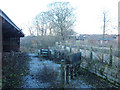
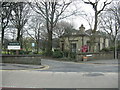
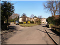
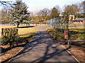
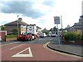
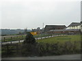
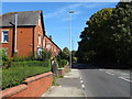
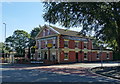
40 photos from this area
Area Information
Key information about the OL11 4NZ including its size, population, and administrative classification.
- Area Type
- Postcode
- Area Size
- 7400 m²
- Population
- 1318
- Population Density
- 1382 people/km²
House Prices in OL11 4NZ
16
Properties
£211,025
Average Sold Price
£81,250
Lowest Price
£308,000
Highest Price
Showing 16 properties
| Address | Type | Beds | Baths | Last Sale Price | Last Sale Date | |
|---|---|---|---|---|---|---|
| 4 Farriers Lane, Rochdale, OL11 4NZ | Bungalow | 3 | 2 | £308,000 | Mar 2025 | |
| 13 Farriers Lane, Rochdale, OL11 4NZ | Bungalow | - | - | £253,000 | Aug 2022 | |
| 10 Farriers Lane, Rochdale, OL11 4NZ | Bungalow | - | - | £187,500 | Mar 2017 | |
| 3 Farriers Lane, Rochdale, OL11 4NZ | house | - | - | £231,000 | Feb 2016 | |
| 6 Farriers Lane, Rochdale, OL11 4NZ | Bungalow | - | - | £190,000 | Jun 2013 | |
| 11 Farriers Lane, Rochdale, OL11 4NZ | house | 4 | - | £243,000 | Oct 2012 | |
| 1 Farriers Lane, Rochdale, OL11 4NZ | house | - | - | £249,000 | Apr 2007 | |
| 15 Farriers Lane, Rochdale, OL11 4NZ | Detached | - | - | £220,000 | Jun 2004 | |
| 7 Farriers Lane, Rochdale, OL11 4NZ | house | - | - | £147,500 | Jun 2002 | |
| 9 Farriers Lane, Rochdale, OL11 4NZ | Detached | - | - | £81,250 | Sep 1998 |
Page 1 of 2
Energy Efficiency in OL11 4NZ
Amenities
Schools
| Rank | School | Type | Entry gender | Ages |
|---|
Explore more schools in this area
Go to Schools tabDemographics
Household Size
Two person
most common
Accommodation Type
Houses
most common
Tenure
78
majority
Ethnic Group
White
most common
Religion
N/A
most common
Household Composition
N/A
most common
Age
47
median
Adults (30-64 years)
most common
Household Deprivation
N/A
with no deprivation
NS-SEC
27
in Lower managerial occupations
Explore more demographic insights in this area
Go to Demographics tabPlanning
Planning Constraints
- Flood RiskPremium
- Ramsar Wetland SitesPremium
- Area of Outstanding Natural BeautyPremium
- Protected Nature ReservePremium
- Protected WoodlandPremium