Area Overview for OL11 2WE
Photos of OL11 2WE
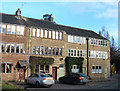
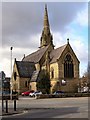
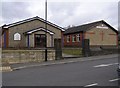
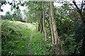
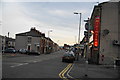
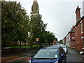
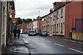
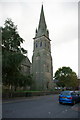
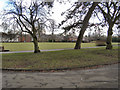
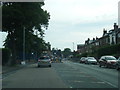

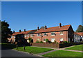
45 photos from this area
Area Information
Key information about the OL11 2WE including its size, population, and administrative classification.
- Area Type
- Postcode
- Area Size
- 4.0 hectares
- Population
- 1810
- Population Density
- 3242 people/km²
House Prices in OL11 2WE
84
Properties
£152,169
Average Sold Price
£98,995
Lowest Price
£225,000
Highest Price
Showing 84 properties
| Address | Type | Beds | Baths | Last Sale Price | Last Sale Date | |
|---|---|---|---|---|---|---|
| 46 Beaconsfield Road, Rochdale, OL11 2WE | Semi-detached | 3 | 1 | £200,000 | Jun 2025 | |
| 22 Beaconsfield Road, Rochdale, OL11 2WE | Semi-detached | 3 | 1 | £195,000 | May 2025 | |
| 60 Beaconsfield Road, Rochdale, OL11 2WE | Semi-detached | 3 | 1 | £210,000 | Mar 2025 | |
| 69 Beaconsfield Road, Rochdale, OL11 2WE | Detached | 3 | 1 | £216,000 | Mar 2025 | |
| 20 Beaconsfield Road, Rochdale, OL11 2WE | house | - | - | £225,000 | Jan 2025 | |
| 63 Beaconsfield Road, Rochdale, OL11 2WE | Semi-detached | 3 | 2 | £196,000 | Jul 2024 | |
| 17 Beaconsfield Road, Rochdale, OL11 2WE | Semi-detached | 2 | 1 | £144,000 | Feb 2024 | |
| 62 Beaconsfield Road, Rochdale, OL11 2WE | house | - | - | £165,000 | Oct 2023 | |
| 12 Beaconsfield Road, Rochdale, OL11 2WE | Semi-detached | 3 | 1 | £172,500 | Sep 2023 | |
| 44 Beaconsfield Road, Rochdale, OL11 2WE | Semi-detached | 2 | 1 | £153,000 | Nov 2022 |
Page 1 of 9
Energy Efficiency in OL11 2WE
Amenities
Schools
| Rank | School | Type | Entry gender | Ages |
|---|
Explore more schools in this area
Go to Schools tabDemographics
Household Size
One person
most common
Accommodation Type
Houses
most common
Tenure
59
majority
Ethnic Group
White
most common
Religion
N/A
most common
Household Composition
N/A
most common
Age
47
median
Adults (30-64 years)
most common
Household Deprivation
N/A
with no deprivation
NS-SEC
29
in Lower managerial occupations
Explore more demographic insights in this area
Go to Demographics tabPlanning
Planning Constraints
- Flood RiskPremium
- Ramsar Wetland SitesPremium
- Area of Outstanding Natural BeautyPremium
- Protected Nature ReservePremium
- Protected WoodlandPremium