Area Overview for OL11 2UW
Photos of OL11 2UW
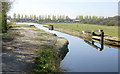
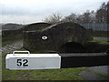
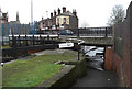
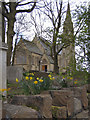
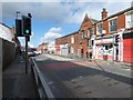
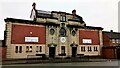
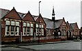
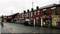
99 photos from this area
Area Information
Key information about the OL11 2UW including its size, population, and administrative classification.
- Area Type
- Postcode
- Area Size
- 4841 m²
- Population
- 1771
- Population Density
- 3963 people/km²
House Prices in OL11 2UW
40
Properties
£74,171
Average Sold Price
£27,500
Lowest Price
£130,000
Highest Price
Showing 40 properties
| Address | Type | Beds | Baths | Last Sale Price | Last Sale Date | |
|---|---|---|---|---|---|---|
| 57 St Martins Street, Rochdale, OL11 2UW | Terraced | 2 | 1 | £125,000 | Oct 2024 | |
| 59 St Martins Street, Rochdale, OL11 2UW | Terraced | 2 | 1 | £118,000 | Sep 2024 | |
| 61 St Martins Street, Rochdale, OL11 2UW | house | - | - | £90,000 | Jul 2024 | |
| 68 St Martins Street, Rochdale, OL11 2UW | Terraced | 3 | 1 | £130,000 | Feb 2024 | |
| 73 St Martins Street, Rochdale, OL11 2UW | Terraced | 2 | 1 | £85,000 | Aug 2020 | |
| 64 St Martins Street, Rochdale, OL11 2UW | house | - | - | £63,000 | Nov 2019 | |
| 60 St Martins Street, Rochdale, OL11 2UW | Terraced | 2 | 1 | £45,700 | Aug 2015 | |
| 93 St Martins Street, Rochdale, OL11 2UW | Terraced | 3 | - | £73,000 | Feb 2011 | |
| 48 St Martins Street, Rochdale, OL11 2UW | Terraced | 3 | 1 | £62,000 | Jan 2010 | |
| 101 St Martins Street, Rochdale, OL11 2UW | Terraced | 3 | 1 | £91,000 | Mar 2007 |
Page 1 of 4
Energy Efficiency in OL11 2UW
Amenities
Schools
| Rank | School | Type | Entry gender | Ages |
|---|
Explore more schools in this area
Go to Schools tabDemographics
Household Size
One person
most common
Accommodation Type
Houses
most common
Tenure
37
majority
Ethnic Group
White
most common
Religion
N/A
most common
Household Composition
N/A
most common
Age
47
median
Adults (30-64 years)
most common
Household Deprivation
N/A
with no deprivation
NS-SEC
19
in Lower managerial occupations
Explore more demographic insights in this area
Go to Demographics tabPlanning
Planning Constraints
- Flood RiskPremium
- Ramsar Wetland SitesPremium
- Area of Outstanding Natural BeautyPremium
- Protected Nature ReservePremium
- Protected WoodlandPremium