Area Overview for OL11 2AG
Photos of OL11 2AG
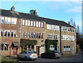
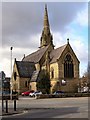
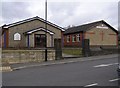
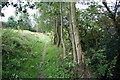
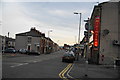
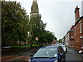
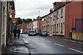
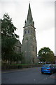
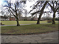
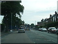

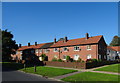
45 photos from this area
Area Information
Key information about the OL11 2AG including its size, population, and administrative classification.
- Area Type
- Postcode
- Area Size
- 1.6 hectares
- Population
- 1972
- Population Density
- 1694 people/km²
House Prices in OL11 2AG
42
Properties
£40,125
Average Sold Price
£20,000
Lowest Price
£70,000
Highest Price
Showing 42 properties
| Address | Type | Beds | Baths | Last Sale Price | Last Sale Date | |
|---|---|---|---|---|---|---|
| 350 Hill Top Drive, Rochdale, OL11 2AG | Maisonette | - | - | £70,000 | Nov 2022 | |
| 324 Hill Top Drive, Rochdale, OL11 2AG | Flat | - | - | £39,000 | Jul 2019 | |
| 360 Hill Top Drive, Rochdale, OL11 2AG | Flat | - | - | £31,500 | Aug 2012 | |
| 358 Hill Top Drive, Rochdale, OL11 2AG | Flat | - | - | £20,000 | Sep 2005 | |
| 309 Hill Top Drive, Rochdale, OL11 2AG | Bungalow | - | - | - | - | |
| 301 Hill Top Drive, Rochdale, OL11 2AG | Bungalow | - | - | - | - | |
| 338 Hill Top Drive, Rochdale, OL11 2AG | Flat | - | - | - | - | |
| 319 Hill Top Drive, Rochdale, OL11 2AG | Bungalow | - | - | - | - | |
| 362 Hill Top Drive, Rochdale, OL11 2AG | Flat | - | - | - | - | |
| 305 Hill Top Drive, Rochdale, OL11 2AG | Bungalow | - | - | - | - |
Page 1 of 5
Energy Efficiency in OL11 2AG
Amenities
Schools
| Rank | School | Type | Entry gender | Ages |
|---|
Explore more schools in this area
Go to Schools tabDemographics
Household Size
Family (3-5 people)
most common
Accommodation Type
Houses
most common
Tenure
42
majority
Ethnic Group
White
most common
Religion
N/A
most common
Household Composition
N/A
most common
Age
47
median
Adults (30-64 years)
most common
Household Deprivation
N/A
with no deprivation
NS-SEC
16
in Lower managerial occupations
Explore more demographic insights in this area
Go to Demographics tabPlanning
Planning Constraints
- Flood RiskPremium
- Ramsar Wetland SitesPremium
- Area of Outstanding Natural BeautyPremium
- Protected Nature ReservePremium
- Protected WoodlandPremium