Area Overview for OL10 3NB
Photos of OL10 3NB
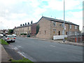
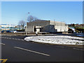
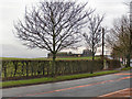
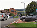
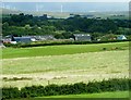
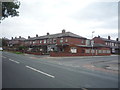
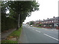
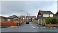
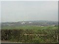
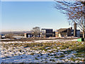
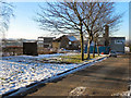
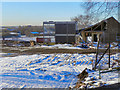
35 photos from this area
Area Information
Key information about the OL10 3NB including its size, population, and administrative classification.
- Area Type
- Postcode
- Area Size
- 3.0 hectares
- Population
- 1554
- Population Density
- 5762 people/km²
House Prices in OL10 3NB
91
Properties
£85,360
Average Sold Price
£29,995
Lowest Price
£185,000
Highest Price
Showing 91 properties
| Address | Type | Beds | Baths | Last Sale Price | Last Sale Date | |
|---|---|---|---|---|---|---|
| 157 Lewis Drive, Heywood, OL10 3NB | Detached | 2 | 1 | £175,000 | Oct 2025 | |
| 48 Lewis Drive, Heywood, OL10 3NB | house | - | - | £115,000 | Sep 2024 | |
| 78 Lewis Drive, Heywood, OL10 3NB | house | - | - | £130,000 | Jan 2023 | |
| 50 Lewis Drive, Heywood, OL10 3NB | house | - | - | £130,000 | Dec 2022 | |
| 125 Lewis Drive, Heywood, OL10 3NB | house | - | - | £130,000 | Nov 2022 | |
| 59 Lewis Drive, Heywood, OL10 3NB | house | - | - | £110,000 | Oct 2022 | |
| 167 Lewis Drive, Heywood, OL10 3NB | house | - | - | £120,500 | Sep 2022 | |
| 147 Lewis Drive, Heywood, OL10 3NB | house | - | - | £137,000 | Nov 2021 | |
| 71 Lewis Drive, Heywood, OL10 3NB | Bungalow | 2 | 1 | £185,000 | Apr 2021 | |
| 69 Lewis Drive, Heywood, OL10 3NB | house | - | - | £110,000 | Jul 2019 |
Page 1 of 10
Energy Efficiency in OL10 3NB
Amenities
Schools
| Rank | School | Type | Entry gender | Ages |
|---|
Explore more schools in this area
Go to Schools tabDemographics
Household Size
Family (3-5 people)
most common
Accommodation Type
Houses
most common
Tenure
35
majority
Ethnic Group
White
most common
Religion
N/A
most common
Household Composition
N/A
most common
Age
47
median
Adults (30-64 years)
most common
Household Deprivation
N/A
with no deprivation
NS-SEC
15
in Lower managerial occupations
Explore more demographic insights in this area
Go to Demographics tabPlanning
Planning Constraints
- Flood RiskPremium
- Ramsar Wetland SitesPremium
- Area of Outstanding Natural BeautyPremium
- Protected Nature ReservePremium
- Protected WoodlandPremium