Area Overview for OL10 2DG
Photos of OL10 2DG
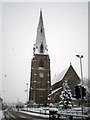
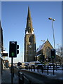
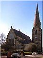
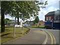


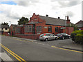
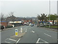
100 photos from this area
Area Information
Key information about the OL10 2DG including its size, population, and administrative classification.
- Area Type
- Postcode
- Area Size
- 2.2 hectares
- Population
- 1378
- Population Density
- 7027 people/km²
House Prices in OL10 2DG
51
Properties
£117,183
Average Sold Price
£42,000
Lowest Price
£211,000
Highest Price
Showing 51 properties
| Address | Type | Beds | Baths | Last Sale Price | Last Sale Date | |
|---|---|---|---|---|---|---|
| 28 Royal Avenue, Heywood, OL10 2DG | Semi-detached | 3 | 1 | £180,000 | Oct 2023 | |
| 44 Royal Avenue, Heywood, OL10 2DG | Semi-detached | 3 | 1 | £143,000 | Apr 2023 | |
| 19 Royal Avenue, Heywood, OL10 2DG | house | - | - | £211,000 | Mar 2022 | |
| 39 Royal Avenue, Heywood, OL10 2DG | Semi-detached | 3 | 1 | £145,000 | Nov 2021 | |
| 56 Royal Avenue, Heywood, OL10 2DG | house | - | - | £183,000 | Jul 2021 | |
| 5 Royal Avenue, Heywood, OL10 2DG | house | - | - | £135,000 | Jun 2021 | |
| 17 Royal Avenue, Heywood, OL10 2DG | house | - | - | £152,500 | Apr 2021 | |
| 42 Royal Avenue, Heywood, OL10 2DG | house | - | - | £133,000 | Feb 2020 | |
| 54 Royal Avenue, Heywood, OL10 2DG | house | - | - | £138,000 | Aug 2019 | |
| 41 Royal Avenue, Heywood, OL10 2DG | Semi-detached | 3 | 1 | £165,000 | Jul 2018 |
Page 1 of 6
Energy Efficiency in OL10 2DG
Amenities
Schools
| Rank | School | Type | Entry gender | Ages |
|---|
Explore more schools in this area
Go to Schools tabDemographics
Household Size
One person
most common
Accommodation Type
Houses
most common
Tenure
55
majority
Ethnic Group
White
most common
Religion
N/A
most common
Household Composition
N/A
most common
Age
47
median
Adults (30-64 years)
most common
Household Deprivation
N/A
with no deprivation
NS-SEC
18
in Lower managerial occupations
Explore more demographic insights in this area
Go to Demographics tabPlanning
Planning Constraints
- Flood RiskPremium
- Ramsar Wetland SitesPremium
- Area of Outstanding Natural BeautyPremium
- Protected Nature ReservePremium
- Protected WoodlandPremium