Area Overview for OL1 3EW
Photos of OL1 3EW
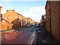
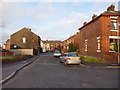
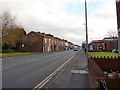
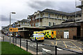
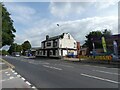
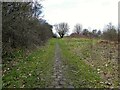
38 photos from this area
Area Information
Key information about the OL1 3EW including its size, population, and administrative classification.
- Area Type
- Postcode
- Area Size
- 1260 m²
- Population
- 2423
- Population Density
- 12470 people/km²
House Prices in OL1 3EW
13
Properties
£93,945
Average Sold Price
£22,500
Lowest Price
£159,950
Highest Price
Showing 13 properties
| Address | Type | Beds | Baths | Last Sale Price | Last Sale Date | |
|---|---|---|---|---|---|---|
| 22 Rivington Street, Oldham, OL1 3EW | house | - | - | £138,000 | Mar 2025 | |
| 12 Rivington Street, Oldham, OL1 3EW | Terraced | 3 | 2 | £112,000 | Feb 2024 | |
| 18 Rivington Street, Oldham, OL1 3EW | Terraced | 2 | 1 | £116,000 | Jan 2024 | |
| 2 Rivington Street, Oldham, OL1 3EW | house | - | - | £159,950 | Sep 2022 | |
| 10 Rivington Street, Oldham, OL1 3EW | house | - | - | £140,000 | Jul 2022 | |
| 6 Rivington Street, Oldham, OL1 3EW | house | - | - | £85,000 | Jun 2012 | |
| 24 Rivington Street, Oldham, OL1 3EW | Terraced | - | - | £63,000 | Jun 2011 | |
| 8 Rivington Street, Oldham, OL1 3EW | house | - | - | £78,950 | Dec 2004 | |
| 16 Rivington Street, Oldham, OL1 3EW | house | - | - | £86,000 | Sep 2004 | |
| 20 Rivington Street, Oldham, OL1 3EW | Terraced | - | - | £32,000 | Dec 2000 |
Page 1 of 2
Energy Efficiency in OL1 3EW
Amenities
Schools
| Rank | School | Type | Entry gender | Ages |
|---|
Explore more schools in this area
Go to Schools tabDemographics
Household Size
One person
most common
Accommodation Type
Houses
most common
Tenure
35
majority
Ethnic Group
asian_total
most common
Religion
N/A
most common
Household Composition
N/A
most common
Age
22
median
Adults (30-64 years)
most common
Household Deprivation
N/A
with no deprivation
NS-SEC
14
in Lower managerial occupations
Explore more demographic insights in this area
Go to Demographics tabPlanning
Planning Constraints
- Flood RiskPremium
- Ramsar Wetland SitesPremium
- Area of Outstanding Natural BeautyPremium
- Protected Nature ReservePremium
- Protected WoodlandPremium