Area Overview for Liverpool
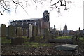
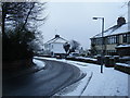
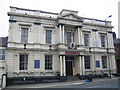
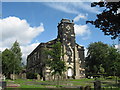
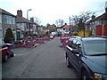
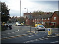
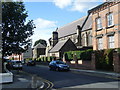
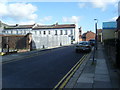
Photos of Liverpool


Area Information
Liverpool stands as a significant metropolitan borough within Merseyside, North West England. The city covers an extensive area of 109.8 km², making it a substantial built-up environment. Despite its size, it maintains a population density of 3,294 people per km², housing nearly 362,000 residents across its boundaries. This density suggests a vibrant urban character typical of a major city centre hub. The area encompasses diverse wards ranging from the bustling city centre to residential zones like Aigburth, Anfield, and extensive waterfront districts. Governance falls under Liverpool City Council as a unitary authority, operating within the Liverpool City Region Combined Authority alongside Sefton, Knowsley, Halton, St Helens, and Wirral. Living in Liverpool means engaging with a large-scale urban community that offers practical access to key economic and cultural nodes. The city's location at approximately 53.4°N latitude places it in a strategic position for connectivity across the north west. You inhabit a space defined by its historical significance and modern economic function. The sheer scale of 109.8 km² provides sufficient breadth for distinct neighbourhoods to develop while remaining part of a cohesive whole. Daily life here is shaped by the density of 3,294 residents per square kilometre, creating an environment where public services and amenities operate at a metropolitan level. Understanding what makes this area distinctive begins with recognising its status as a core city entity within a wider regional framework that spans multiple local authorities.
- Area Type
- Built Up Area 250
- Area Size
- 109.8 km²
- Population
- 361699
- Population Density
- 3294 people/km²
Residents of Liverpool benefit from a dense network of amenities located within practical reach. Retail options include five major outlets such as Tesco Clocktower, Morrisons Daily, and M&S Liverpool, ensuring everyday shopping needs are met without extensive travel. Transport hubs are plentiful, with five railway stations and five ferry terminals positioned near the residential zones. Key ferry points like Liverpool Isle of Man & Dublin Terminal connect you directly to international destinations, while Liverpool Pier Head Ferry Terminal serves local water routes. For air travel, two airports nearby are including Liverpool John Lennon Airport, providing quick access to flights. This variety of transport modes supports a lifestyle where you can choose between train, ferry, or plane depending on your destination. The convenience of having Tesco Clocktower and Morrisons Daily nearby adds to the quality of daily life, allowing you to run errands efficiently. Living here grants you access to a well-integrated system where shopping, commuting, and leisure travel are all services available in close proximity. The presence of these specific named venues confirms that the area is functionally equipped for a modern, mobile lifestyle.
Amenities
Schools
Families living in Liverpool have access to a range of educational institutions designated within the city's supply. Specific schools listed in the local registry include The Academy of St Francis of Assisi, which operates as an academy. You will also find primary-focused education provided by New Hutte Junior School and New Hutte Infant School, both offering junior and infant level instruction respectively. Further options are available through Mackets Primary School and Roseheath Community Primary School, both classified as primary establishments. This selection demonstrates a tiered approach to schooling, with dedicated junior and infant divisions ensuring segmented education for younger children. The presence of an academy like The Academy of St Francis of Assisi alongside community primary schools indicates a blend of maintained and academy-led provision. While specific Ofsted ratings are not provided in the current data, the variety of school types ensures that parents have choices regarding the type of education model they prefer. Living in an area with these specific named schools means you are situated within reach of formal education facilities that serve different stages of childhood development. The mix includes both single-status academies and community-primary models, offering diverse pedagogical approaches for residents with school-aged children.
| Rank | School | Type | Entry gender | Ages |
|---|
Explore more schools in this area
Go to Schools tabDemographics
The community profile in Liverpool reflects the characteristics of a mature urban centre. Data indicates a median age of 70, which signals a population with a significant elderly demographic compared to many other metropolitan areas. This age structure influences the local dynamic, suggesting a community where long-term residents and retired individuals form a core of the populace. Home ownership stands at exactly 50%, indicating a perfectly balanced split between owner-occupiers and renter households. This figure implies that the market supports both investment buyers and those looking for rental arrangements. Accommodation statistics cover the total stock, reflecting the mixed nature of housing tenure found throughout the built-up area. The most common age range category is listed simply as 'Total', reinforcing the broad spectrum of ages residing within the city limits. While specific data on predominant ethnic groups and religious affiliations is not itemised in the current figures, the diversity inherent in a city of this size is evident in the overall housing landscape. The 50% ownership rate is a critical marker for potential buyers, showing that the stock is equally accessible to those buying outright or on mortgage and those entering the market through private or social rented sectors. Understanding these demographics helps you gauge the type of neighbour you might encounter and the services tailored to a population with a higher median age of 70 years.