Area Overview for Macclesfield East Ward
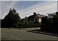
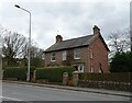
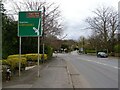
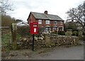
Photos of Macclesfield East Ward
Area Information
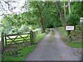
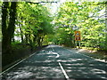
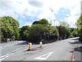
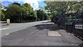
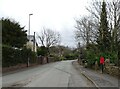
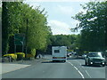
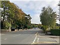
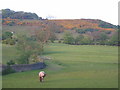
Macclesfield East Ward represents a specific slice of the Cheshire East unitary authority, covering an area of just 3.1 km². This compact district lies immediately east of the historic Macclesfield town centre, forming part of the former borough boundary that also included nearby parishes such as Sutton and Gawsworth. You will find yourself in a location defined by its proximity to the main urban hub while retaining the characteristics of an electoral ward designed for local governance. The zone sits at approximately 53.2558°N, -2.0972°W, placing it firmly within the geographical context of the North West region of England. Living in Macclesfield East Ward means relying on a highly reliable digital infrastructure that supports modern working styles. The area benefits from a fixed broadband quality score of 94 out of 100, ensuring that high-speed internet access is not just available but consistently performant. This technical specification makes the vicinity suitable for residents who depend on robust connectivity for remote employment or heavy media consumption. Despite its small footprint, the ward integrates into the wider fabric of the town, offering a blend of residential density backed by long-term infrastructure investment. Your daily life here is shaped by these clear boundaries and the strong administrative link to the surrounding towns.
- Area Type
- District Borough Unitary Ward
- Area Size
- 3.1 km²
- Population
- Not available
- Population Density
- Not available
Demographics
The community within Macclesfield East Ward presents a distinct age profile compared to many parts of England. The median age for residents stands at 70 years, indicating that the population is predominantly comprised of older adults. When you examine the household composition, the data shows a community where home ownership is the norm, with 65% of households owned outright or with a mortgage. This high level of tenure suggests that many families of your neighbours have established deep roots in the locality over several decades. You should expect a quieter environment where the social fabric is tied closely to the life stage of its residents. The accommodation type data categorises the total stock without highlighting a dominance of student housing or young专业 worker flats, which aligns with the older median age. You are looking at an area where life moves at a pace dictated by the retired majority rather than a transient young workforce. While the specific ethnic breakdown and religious affiliations are not itemised in the current datasets, the demographic weight is heavily skewed towards an older British population. Understanding this helps you anticipate the types of local shops, leisure activities, and community groups that currently serve the people of Macclesfield East Ward.
Household Size
Accommodation Type
Tenure
Ethnic Group
Religion
Household Composition
Age
Household Deprivation
NS-SEC
Explore more demographic insights in this area
Go to Demographics tabPlanning
Planning Constraints
- Flood RiskPremium
- Ramsar Wetland SitesPremium
- Area of Outstanding Natural BeautyPremium
- Protected Nature ReservePremium
- Protected WoodlandPremium
- Crime RiskPremium