Area Overview for M9 8NA
Photos of M9 8NA
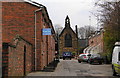
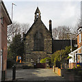
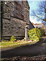
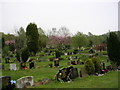
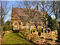
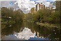
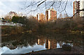
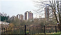
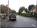
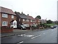
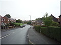
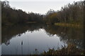
35 photos from this area
Area Information
Key information about the M9 8NA including its size, population, and administrative classification.
- Area Type
- Postcode
- Area Size
- 1.2 hectares
- Population
- 1832
- Population Density
- 4086 people/km²
House Prices in M9 8NA
33
Properties
£63,994
Average Sold Price
£30,000
Lowest Price
£159,000
Highest Price
Showing 33 properties
| Address | Type | Beds | Baths | Last Sale Price | Last Sale Date | |
|---|---|---|---|---|---|---|
| 243 Chapel Lane, Manchester, M9 8NA | Semi-detached | 2 | 1 | £159,000 | May 2024 | |
| 215 Chapel Lane, Manchester, M9 8NA | house | - | - | £67,000 | Mar 2017 | |
| 235 Chapel Lane, Manchester, M9 8NA | Terraced | 2 | - | £56,000 | Mar 2015 | |
| 229 Chapel Lane, Manchester, M9 8NA | house | 3 | 1 | £75,000 | Nov 2014 | |
| 217 Chapel Lane, Manchester, M9 8NA | house | - | - | £45,000 | Oct 2014 | |
| 247 Chapel Lane, Manchester, M9 8NA | house | 2 | 1 | £52,000 | Mar 2014 | |
| 239 Chapel Lane, Manchester, M9 8NA | house | - | - | £60,000 | Mar 2012 | |
| 241 Chapel Lane, Manchester, M9 8NA | Terraced | - | - | £31,950 | Sep 2001 | |
| 233 Chapel Lane, Manchester, M9 8NA | Terraced | - | - | £30,000 | Feb 2000 | |
| 201 Chapel Lane, Manchester, M9 8NA | house | - | - | - | - |
Page 1 of 4
Energy Efficiency in M9 8NA
Amenities
Schools
| Rank | School | Type | Entry gender | Ages |
|---|
Explore more schools in this area
Go to Schools tabDemographics
Household Size
One person
most common
Accommodation Type
Houses
most common
Tenure
37
majority
Ethnic Group
White
most common
Religion
N/A
most common
Household Composition
N/A
most common
Age
47
median
Adults (30-64 years)
most common
Household Deprivation
N/A
with no deprivation
NS-SEC
17
in Lower managerial occupations
Explore more demographic insights in this area
Go to Demographics tabPlanning
Planning Constraints
- Flood RiskPremium
- Ramsar Wetland SitesPremium
- Area of Outstanding Natural BeautyPremium
- Protected Nature ReservePremium
- Protected WoodlandPremium