Area Overview for M9 8AR
Photos of M9 8AR
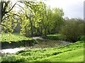
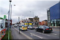
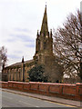
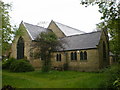
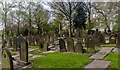
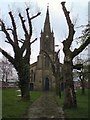
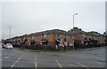
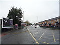
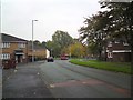
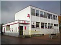
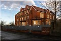
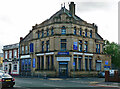
47 photos from this area
Area Information
Key information about the M9 8AR including its size, population, and administrative classification.
- Area Type
- Postcode
- Area Size
- 1.1 hectares
- Population
- 1875
- Population Density
- 5570 people/km²
House Prices in M9 8AR
20
Properties
£106,568
Average Sold Price
£20,000
Lowest Price
£238,000
Highest Price
Showing 20 properties
| Address | Type | Beds | Baths | Last Sale Price | Last Sale Date | |
|---|---|---|---|---|---|---|
| 3 Selwyn Avenue, Manchester, M9 8AR | Terraced | 2 | 1 | £210,000 | Sep 2023 | |
| 15 Selwyn Avenue, Manchester, M9 8AR | house | - | - | £122,000 | Jan 2022 | |
| 17 Selwyn Avenue, Manchester, M9 8AR | Semi-detached | 4 | 2 | £238,000 | Jun 2021 | |
| 1 Selwyn Avenue, Manchester, M9 8AR | house | - | - | £143,000 | Mar 2020 | |
| 12 Selwyn Avenue, Manchester, M9 8AR | Terraced | 3 | 1 | £120,000 | Jan 2020 | |
| 4 Selwyn Avenue, Manchester, M9 8AR | Terraced | 3 | 1 | £135,000 | Apr 2019 | |
| 11 Selwyn Avenue, Manchester, M9 8AR | house | - | - | £78,000 | Sep 2018 | |
| 20 Selwyn Avenue, Manchester, M9 8AR | house | - | - | £63,950 | Jan 2018 | |
| 2 Selwyn Avenue, Manchester, M9 8AR | Semi-detached | - | - | £140,000 | Mar 2017 | |
| 7 Selwyn Avenue, Manchester, M9 8AR | house | 3 | - | £60,500 | May 2013 |
Page 1 of 2
Energy Efficiency in M9 8AR
Amenities
Schools
| Rank | School | Type | Entry gender | Ages |
|---|
Explore more schools in this area
Go to Schools tabDemographics
Household Size
One person
most common
Accommodation Type
Houses
most common
Tenure
52
majority
Ethnic Group
White
most common
Religion
N/A
most common
Household Composition
N/A
most common
Age
47
median
Adults (30-64 years)
most common
Household Deprivation
N/A
with no deprivation
NS-SEC
17
in Lower managerial occupations
Explore more demographic insights in this area
Go to Demographics tabPlanning
Planning Constraints
- Flood RiskPremium
- Ramsar Wetland SitesPremium
- Area of Outstanding Natural BeautyPremium
- Protected Nature ReservePremium
- Protected WoodlandPremium