Area Overview for M9 7EG
Photos of M9 7EG
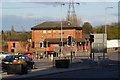
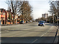
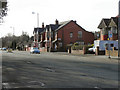
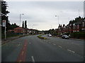

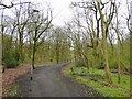
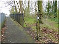
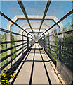
27 photos from this area
Area Information
Key information about the M9 7EG including its size, population, and administrative classification.
- Area Type
- Postcode
- Area Size
- 1.5 hectares
- Population
- 1510
- Population Density
- 4338 people/km²
House Prices in M9 7EG
36
Properties
£143,703
Average Sold Price
£76,500
Lowest Price
£425,000
Highest Price
Showing 36 properties
| Address | Type | Beds | Baths | Last Sale Price | Last Sale Date | |
|---|---|---|---|---|---|---|
| 1213 Rochdale Road, Manchester, M9 7EG | Detached | 3 | 1 | £425,000 | Mar 2025 | |
| 1249 Rochdale Road, Manchester, M9 7EG | Maisonette | 2 | 1 | £140,000 | May 2024 | |
| 1267 Rochdale Road, Manchester, M9 7EG | Semi-detached | 3 | 1 | £210,000 | Nov 2023 | |
| 1229 Rochdale Road, Manchester, M9 7EG | Flat | - | - | £95,000 | May 2023 | |
| 1241 Rochdale Road, Manchester, M9 7EG | Flat | - | - | £118,500 | May 2023 | |
| 1231 Rochdale Road, Manchester, M9 7EG | Retail | 2 | 1 | £130,000 | Mar 2022 | |
| 1257 Rochdale Road, Manchester, M9 7EG | house | - | - | £161,950 | Oct 2021 | |
| 1247 Rochdale Road, Manchester, M9 7EG | Maisonette | - | - | £130,000 | Sep 2021 | |
| 1237 Rochdale Road, Manchester, M9 7EG | Maisonette | - | - | £120,000 | Aug 2021 | |
| 1227 Rochdale Road, Manchester, M9 7EG | Flat | - | - | £92,000 | Mar 2021 |
Page 1 of 4
Energy Efficiency in M9 7EG
Amenities
Schools
| Rank | School | Type | Entry gender | Ages |
|---|
Explore more schools in this area
Go to Schools tabDemographics
Household Size
Family (3-5 people)
most common
Accommodation Type
Houses
most common
Tenure
59
majority
Ethnic Group
White
most common
Religion
N/A
most common
Household Composition
N/A
most common
Age
47
median
Adults (30-64 years)
most common
Household Deprivation
N/A
with no deprivation
NS-SEC
25
in Lower managerial occupations
Explore more demographic insights in this area
Go to Demographics tabPlanning
Planning Constraints
- Flood RiskPremium
- Ramsar Wetland SitesPremium
- Area of Outstanding Natural BeautyPremium
- Protected Nature ReservePremium
- Protected WoodlandPremium