Area Overview for M9 7ED
Photos of M9 7ED
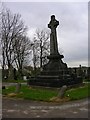
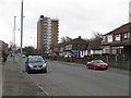
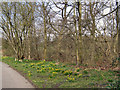

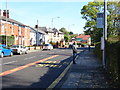
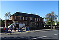
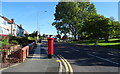
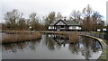
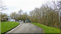
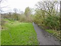
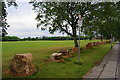
24 photos from this area
Area Information
Key information about the M9 7ED including its size, population, and administrative classification.
- Area Type
- Postcode
- Area Size
- 3.5 hectares
- Population
- 1341
- Population Density
- 3210 people/km²
House Prices in M9 7ED
22
Properties
£306,205
Average Sold Price
£30,000
Lowest Price
£2,401,661
Highest Price
Showing 22 properties
| Address | Type | Beds | Baths | Last Sale Price | Last Sale Date | |
|---|---|---|---|---|---|---|
| 238 Charlestown Road, Manchester, M9 7ED | house | - | - | £185,000 | Nov 2025 | |
| 220 Charlestown Road, Manchester, M9 7ED | house | - | - | £160,000 | Feb 2025 | |
| 232 Charlestown Road, Manchester, M9 7ED | Terraced | 3 | 1 | £210,000 | Nov 2024 | |
| Each Step, 198 Charlestown Road, Manchester, M9 7ED | Retirement | - | - | £2,401,661 | Oct 2021 | |
| 216 Charlestown Road, Manchester, M9 7ED | house | - | - | £160,000 | Feb 2021 | |
| 236 Charlestown Road, Manchester, M9 7ED | Terraced | 3 | 1 | £160,000 | Nov 2020 | |
| 230 Charlestown Road, Manchester, M9 7ED | Bungalow | 5 | 1 | £220,000 | Aug 2019 | |
| 244 Charlestown Road, Manchester, M9 7ED | Detached | 4 | 2 | £95,000 | Nov 2008 | |
| 212 Charlestown Road, Manchester, M9 7ED | Semi-detached | 1 | - | £121,500 | Sep 2008 | |
| 234 Charlestown Road, Manchester, M9 7ED | Terraced | - | - | £97,000 | May 2008 |
Page 1 of 3
Energy Efficiency in M9 7ED
Amenities
Schools
| Rank | School | Type | Entry gender | Ages |
|---|
Explore more schools in this area
Go to Schools tabDemographics
Household Size
One person
most common
Accommodation Type
Flats
most common
Tenure
23
majority
Ethnic Group
White
most common
Religion
N/A
most common
Household Composition
N/A
most common
Age
47
median
Adults (30-64 years)
most common
Household Deprivation
N/A
with no deprivation
NS-SEC
21
in Lower managerial occupations
Explore more demographic insights in this area
Go to Demographics tabPlanning
Planning Constraints
- Flood RiskPremium
- Ramsar Wetland SitesPremium
- Area of Outstanding Natural BeautyPremium
- Protected Nature ReservePremium
- Protected WoodlandPremium